Hiking
Whympr
06
July
2026
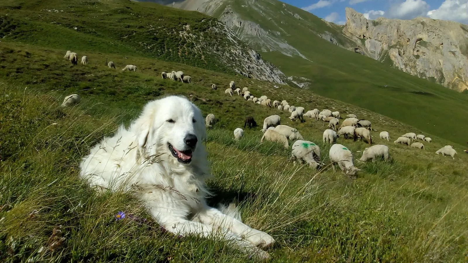
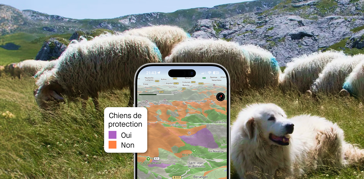
With Whympr’s new map layer showing the location of guard dogs — a.k.a. patous — you can hike with greater peace of mind!
05
December
2024
Check out how to subscribe to our NEW outdoor Pack which includes Whympr Premium, Iphigénie and our Web App.
03
Let's meet the association "The Sun Shines for Everyone," which strives to provide athletes with mental disabilities a place on the sports fields.
Climbing
Ski touring
25
November
Découvrez le Podcast "Au-delà des sommets" : une série de portraits pour une montagne plus inclusive
Alpinism
Ski
12
Anastasia has taken on a one-of-a-kind challenge: to climb or ski all the peaks between 3900 and 3999 meters, also known as "the forgotten 4000s." Check out her interview!
Tutorial
30
October
Good news: you can import your old Fatmap tracks into Whympr. Find how in this article.
24
With this offer, you can now plan all your outings more easily while benefiting from the power of two leading outdoor apps, all of which are also accessible on your computer through our new Web App
21
Oh la la: Léo and Marion are joining the Whympr family! We’ll tell you more in this article.
11
Discover the Renovation Project of the Vallot Observatory in Chamonix! A New Third Place Dedicated to Alpine Ecology.
01
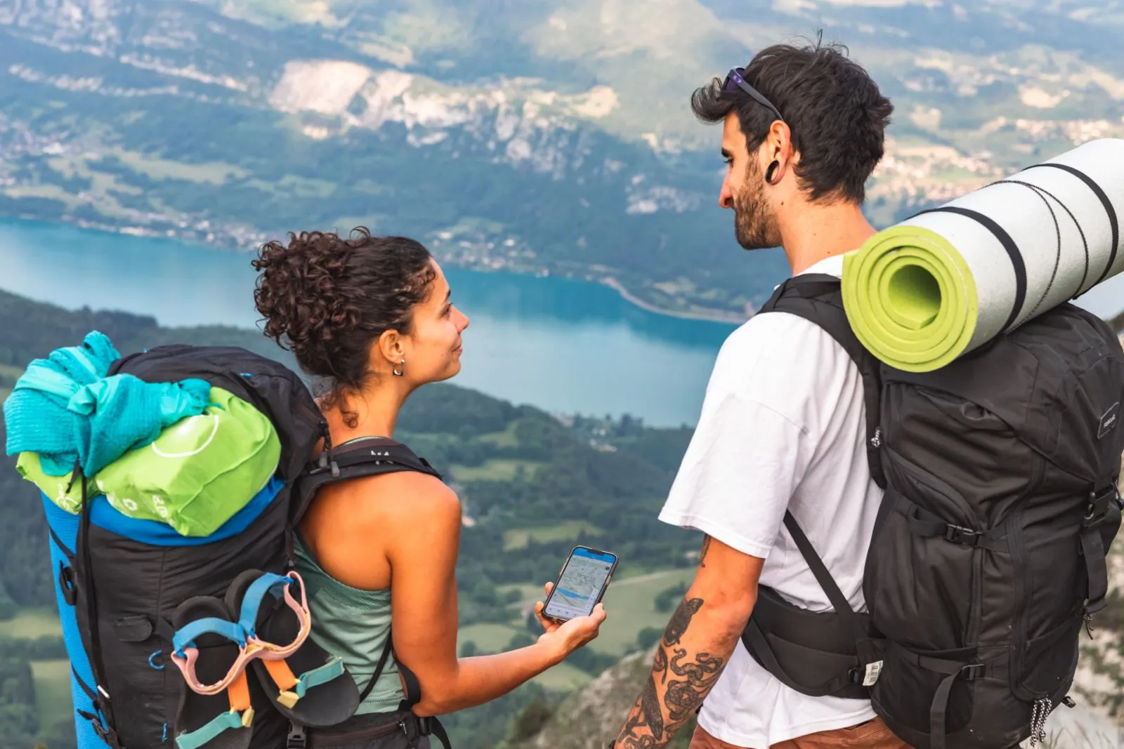
In this article, discover how Whympr can become your best tool when you head out for a ski touring adventure.
Plan your hikes with peace of mind this summer in France and Switzerland with the new “guard dog zone” overlays
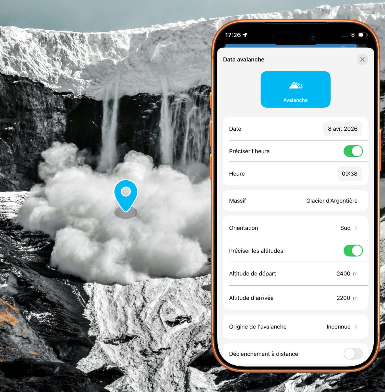
Alert the community and report avalanches quickly with just a few taps in the app
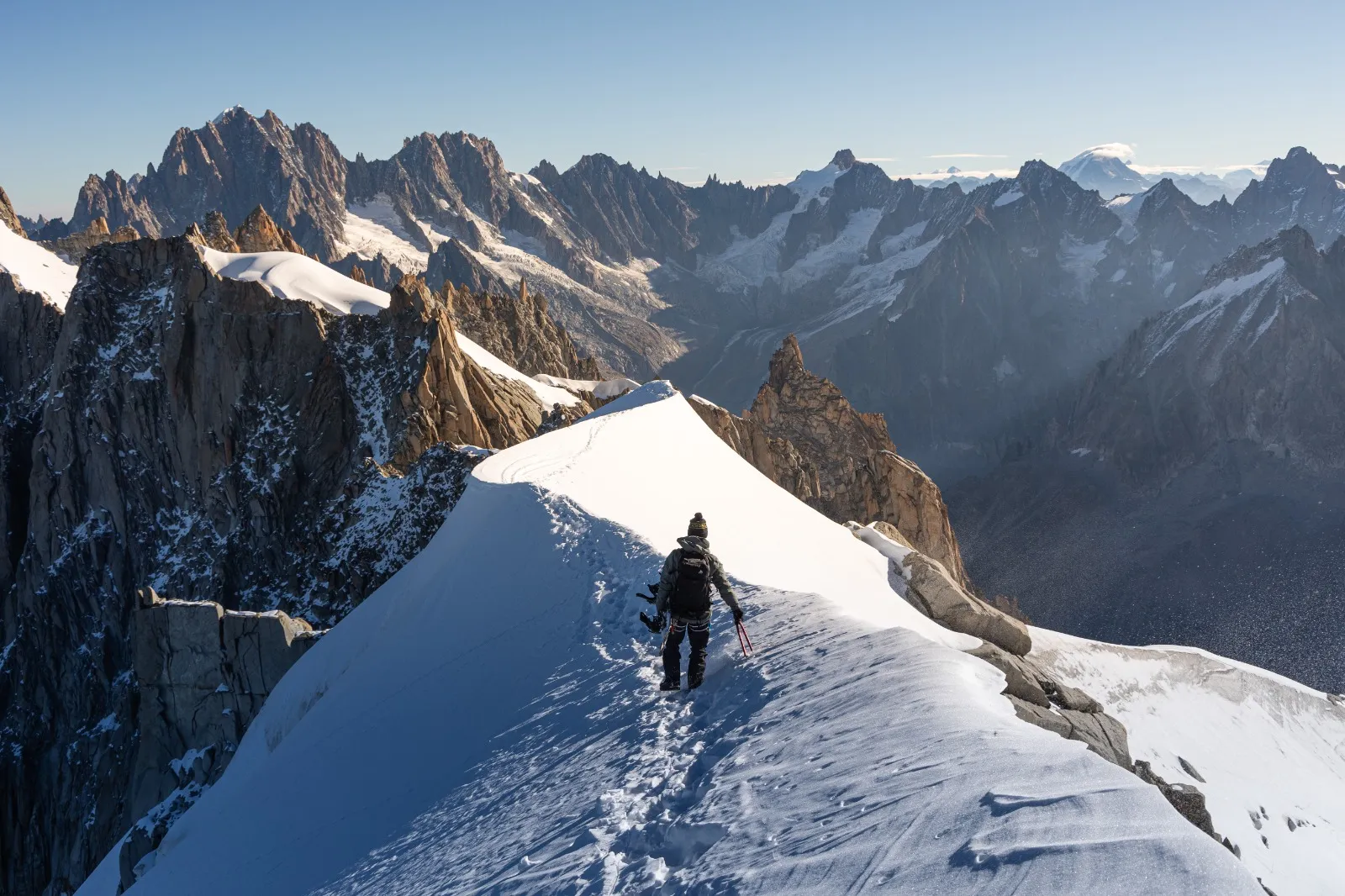
New: 50 beautiful climbing routes to discover around Chamonix.
Pour mieux comprendre les descriptions et cotations des topos de ski de rando : lis cet article !
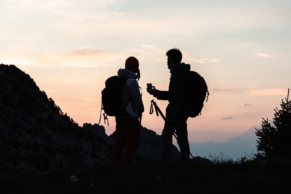
Explore the most breathtaking hikes in the Mont Blanc massif with the Vamos guidebook, featuring detailed routes, hidden gems, and unforgettable alpine adventures.
Discover the most beautiful off-piste routes in the Mont Blanc massif