What’s the best alternative to FATMAP?
The news dropped like a bomb. FATMAP shut down on October 1st, 2024, after becoming part of the Strava family. So which mountain and outdoor app should you use instead?
We’ve got the answer for you in this article.
Thank you FATMAP, hello Whympr
Whympr would like to give a shout-out to FATMAP for the amazing work they did over the years. The British app really stood out thanks to its commitment to high-quality maps, especially its outstanding 3D map.
By listening closely to its users, FATMAP won the hearts of countless mountain lovers. And if you’re reading this, chances are you were using FATMAP too.
But since October 1st, 2024, the mountain app famous for its 3D maps is no longer around. After being acquired by Strava, it was fully absorbed into the American company, best known for helping athletes track and improve their performance - especially in running and cycling.
At Whympr, we know many former FATMAP users are still pretty disappointed by the news. Not only did you lose your routes, but now you also have to pay more.
From now on, you’ll need to fork out €60 for a yearly Strava subscription. 😨
Is it time to try another mountain app?
Yes! Okay, fine - we’re not totally unbiased. But maybe this is the perfect moment for disappointed FATMAP users to try something new?
Like a French mobile app born in Chamonix, for example.
Yeah… you probably see where we’re going with this 😇

Why switch from FATMAP to Whympr?
Because we’re a small, friendly team who genuinely love the mountains.
Okay… not just for that 😉
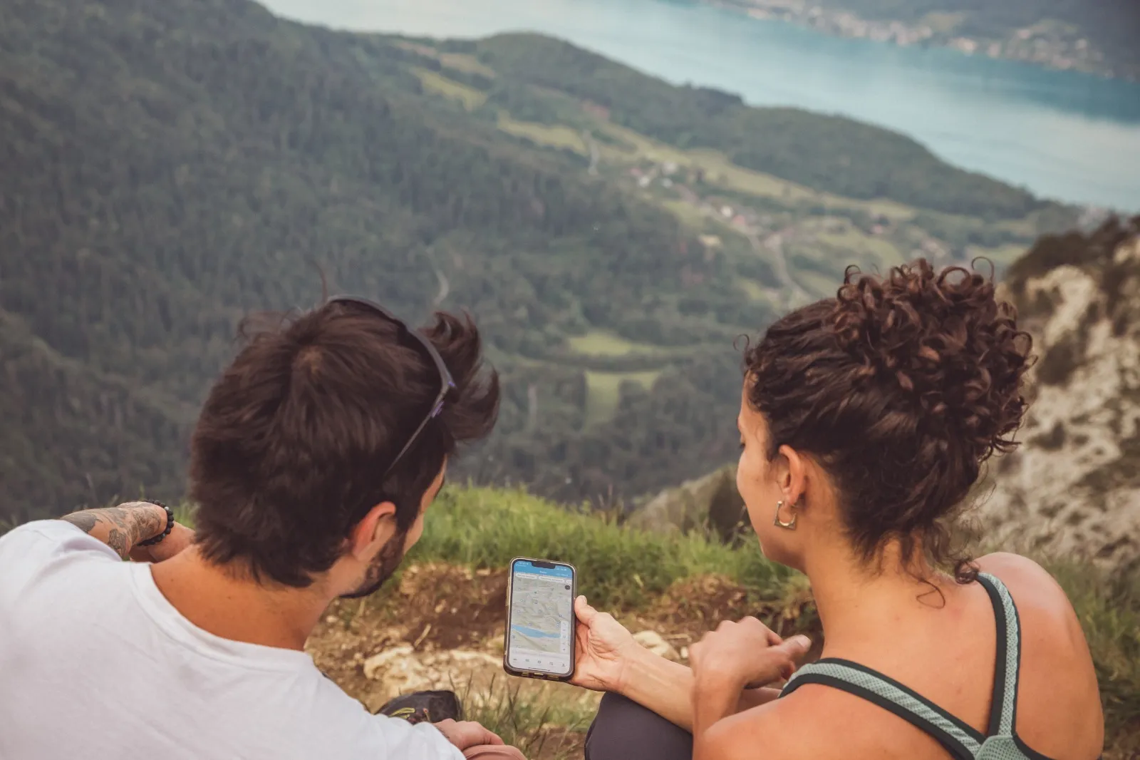
Whympr is the all-in-one app to prepare and share your outdoor outings, anywhere in the world. It packs a ton of features - including a great 3D map - for hikers, ski tourers, climbers and mountaineers.
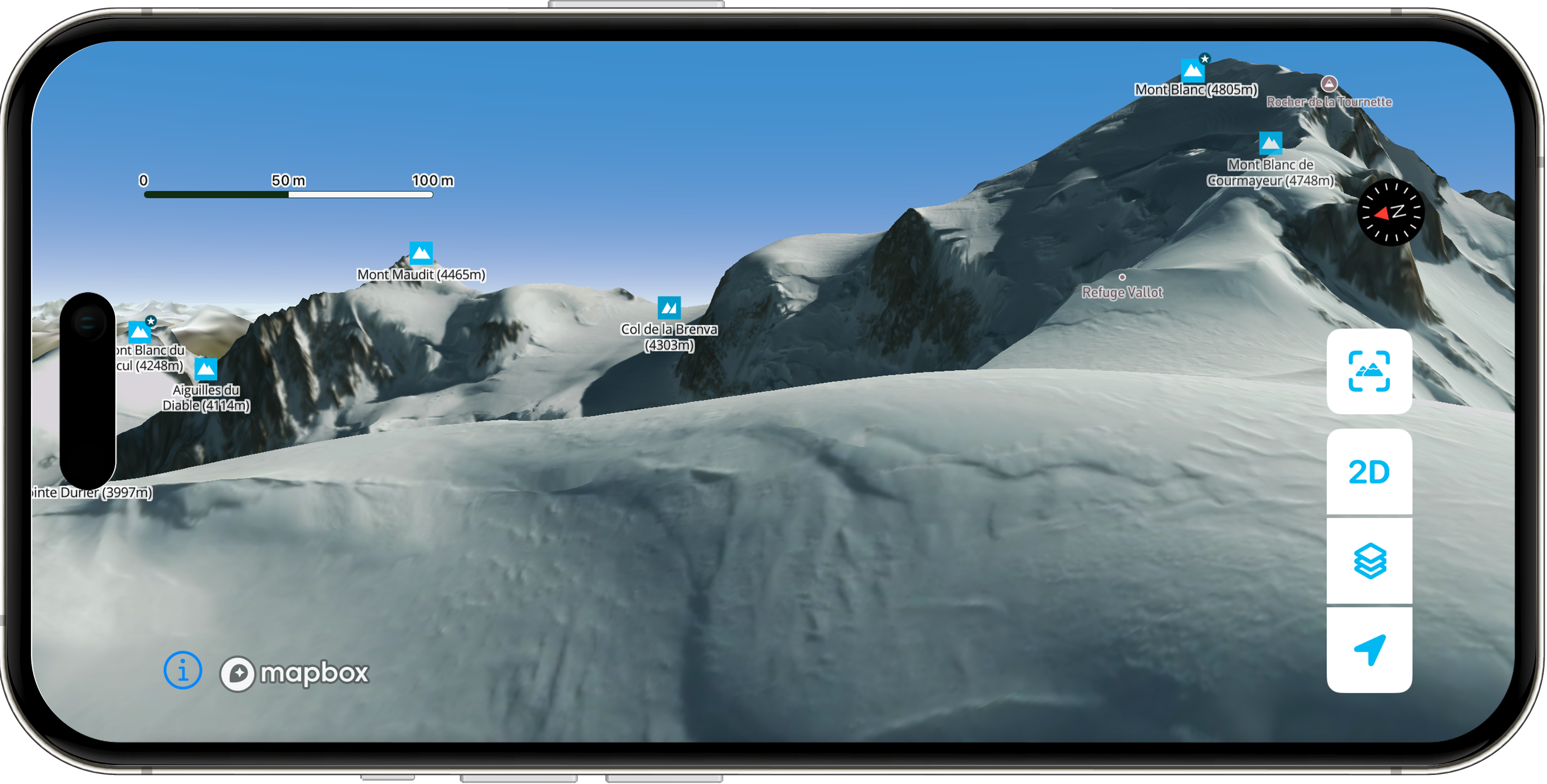
New in December 2025: the best HD satellite map of Mont Blanc + brand-new 3D LiDAR technology
For the past few weeks, Whympr has been offering the most precise winter HD satellite map ever created around the Mont Blanc massif.
And we didn’t stop there.
You can now explore a brand-new, next-level 3D experience enhanced with LiDAR technology - letting you dive into every ridge, valley and slope with unmatched accuracy.
Head over to our dedicated article to discover how these innovations will transform your winter adventures:
Transform Your Winter: New Winter Satellite Map + 3D LiDAR
Watch the video to discover the map:
What features does Whympr offer?
On our app, you’ll find:
- Over 100,000 routes and points of interest
- The ability to create and view your own tracks
- Activity filters (hiking, climbing, ski touring, mountaineering, etc.)
- 11+ map layers, including IGN, swisstopo, IGN Spain, USGS, Italy and more
- Avalanche bulletins (BERA) for France, Switzerland, Italy and Austria
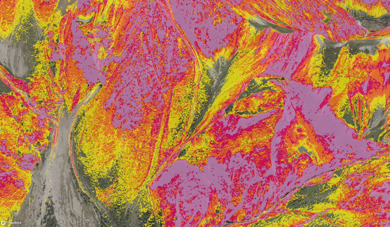
- HD 3D terrain visualisation powered by LiDAR technology
- Super useful overlays: protected wildlife areas, livestock guardian dogs (patous), and more
- Global layers: slope angle, aspect and flat zones
- Offline mode : use the app even without network coverage
- 23,000 outdoor webcams
- Weather forecasts in partnership with meteoblue
- Pro guidebooks available to buy (packs or individual topos): digital route descriptions created by professional mountain guides
- A community of outdoor lovers sharing fresh conditions and on-the-ground feedback
- And plenty of other very cool features you can discover here 😉
All of this for just €24.99 per year.
Beat that 🙏
Try Whympr today!
It’s free for 7 days, so you can test everything before subscribing.
Learn more about the history of Whympr
“The thing to wish for is not that the mountain becomes easier, but that man becomes smarter and stronger.” - Edward Whymper
The practice of mountain sports began with shepherds, hunters, and crystal seekers. They used traditional techniques to navigate rugged terrain. In the 18th century, mountaineering emerged, and in the 19th century, pioneers like Edward Whymper made history, notably with the first ascent of the Matterhorn in 1865. This period also saw technical innovations like hemp ropes, ice axes, and crampons.
Today, digital tools like Whympr continue this legacy by facilitating the preparation of mountain outings while upholding our values: love of the mountains, respect for the environment, democratization of sports practice, and a desire to push boundaries.
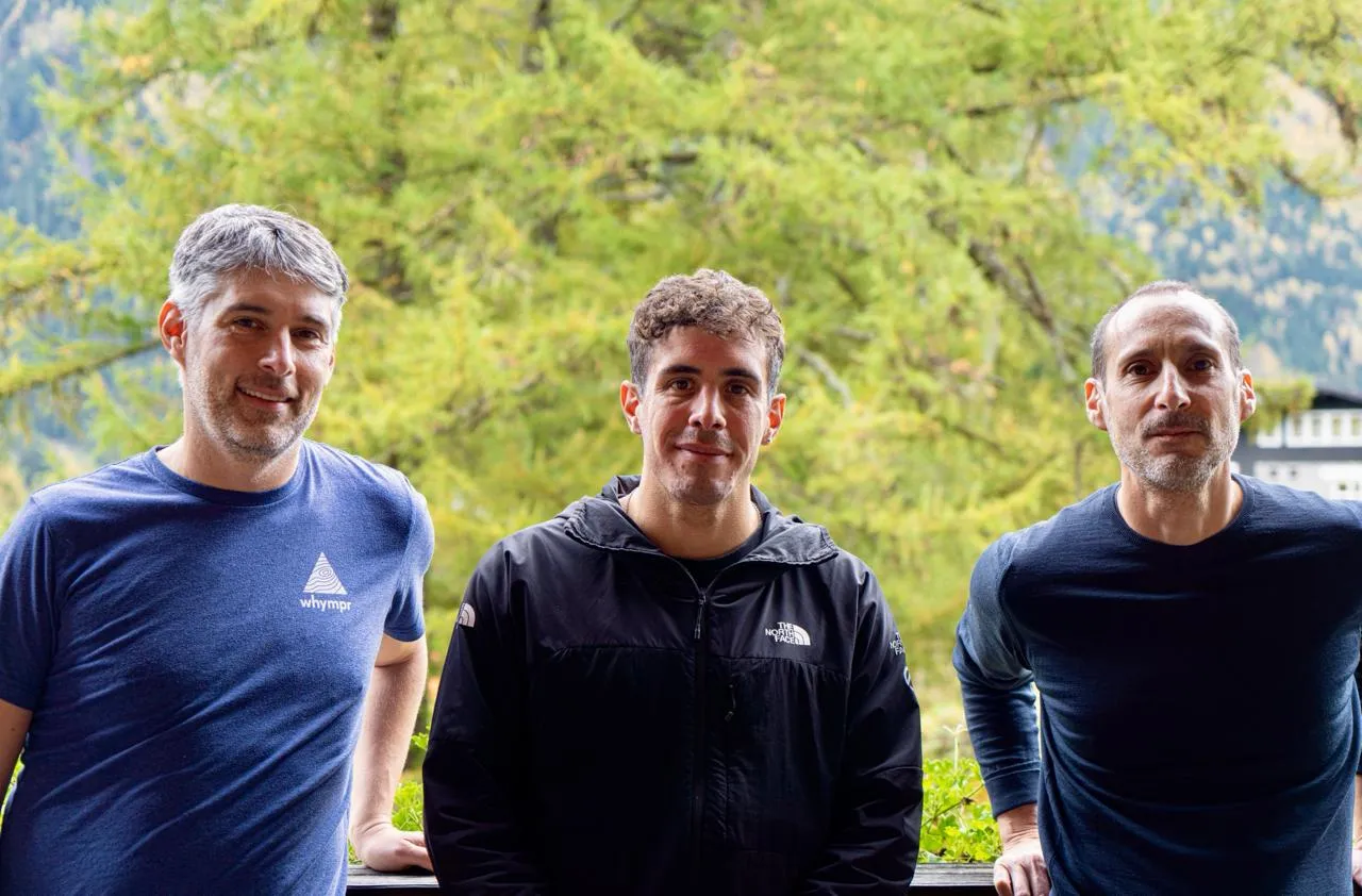
When Tim MacLean and Xavier Bougouin envisioned Whympr at the foot of Mont Blanc, the shadow of Edward Whymper's ascents was not far away. Hailing from Chamonix, the founders of Whympr are both passionate about the mountains and descendants of the Devouassoud family (six generations of guides and bell ringers in Chamonix).
“The idea behind Whympr came from our own frustration as mountain sports practitioners. Whether it’s trail running, hiking, ski mountaineering, or climbing in the summer or winter, it’s essential to prepare each outing with the most objective data to start under the best conditions. Practicing a mountain activity, where zero risk does not exist, is not something to improvise; it requires knowledge and experience.
Yet, we couldn’t find a mobile app that met our preparation needs. One had maps, another the weather, yet another had routes, and yet another had avalanche bulletins. Not very practical! As there was nothing on the market, we decided to create it ourselves!
We grew up understanding the vital importance of taking care of the mountains. With a deep admiration for alpine tradition and a desire to make the mountain experience safer and more accessible for all, we embarked on the journey of creating Whympr. Our goal was simple: to provide a practical and reliable solution to help outdoor enthusiasts like us better prepare for and share their mountain outings.” — Tim MacLean, co-founder of Whympr and CEO of the Pahada group.