Hiking
Whympr
06
July
2026
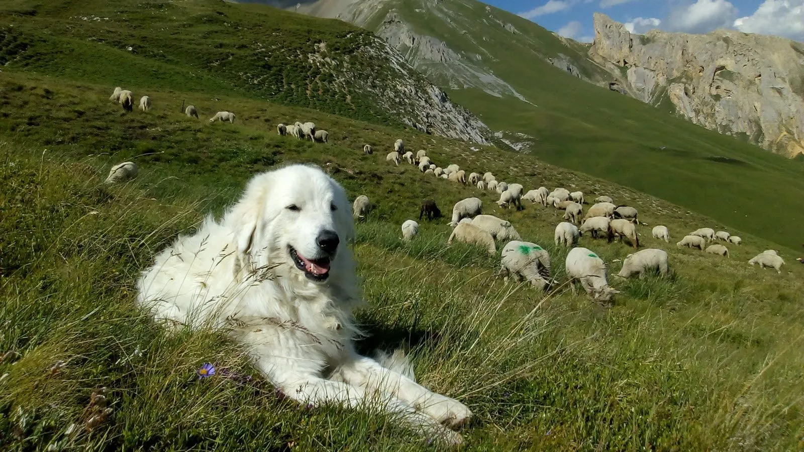
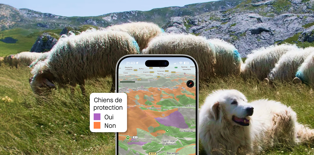
With Whympr’s new map layer showing the location of guard dogs — a.k.a. patous — you can hike with greater peace of mind!
Tutorial
30
June
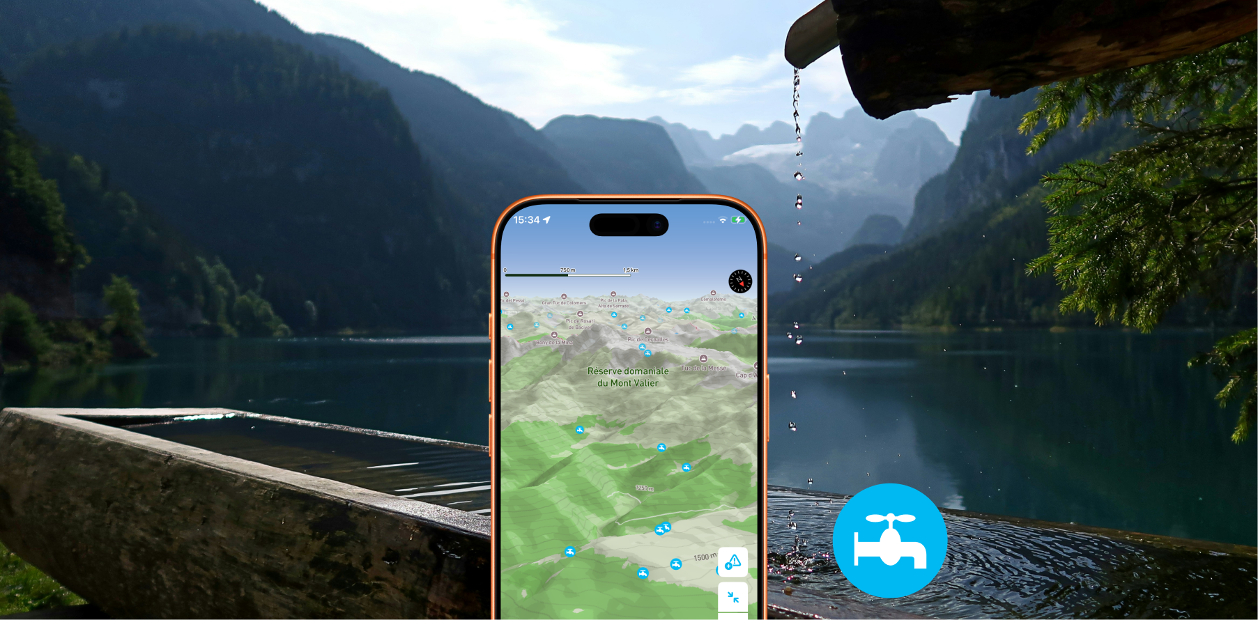
Displays drinking water access points on your map so you'll never run out of water on the trail.
23
Explore 30 Trail Routes in Chamonix & Mont-Blanc
15
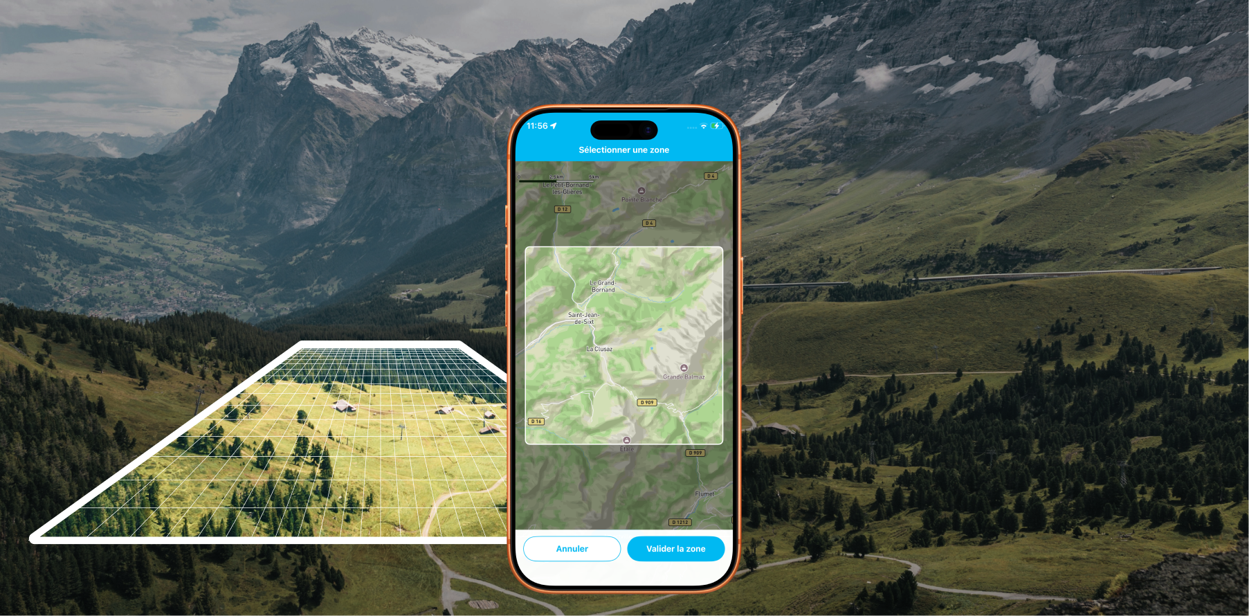
Offline Maps: Download areas from anywhere on Earth and travel without a data connection with Whympr
Alpinism
10
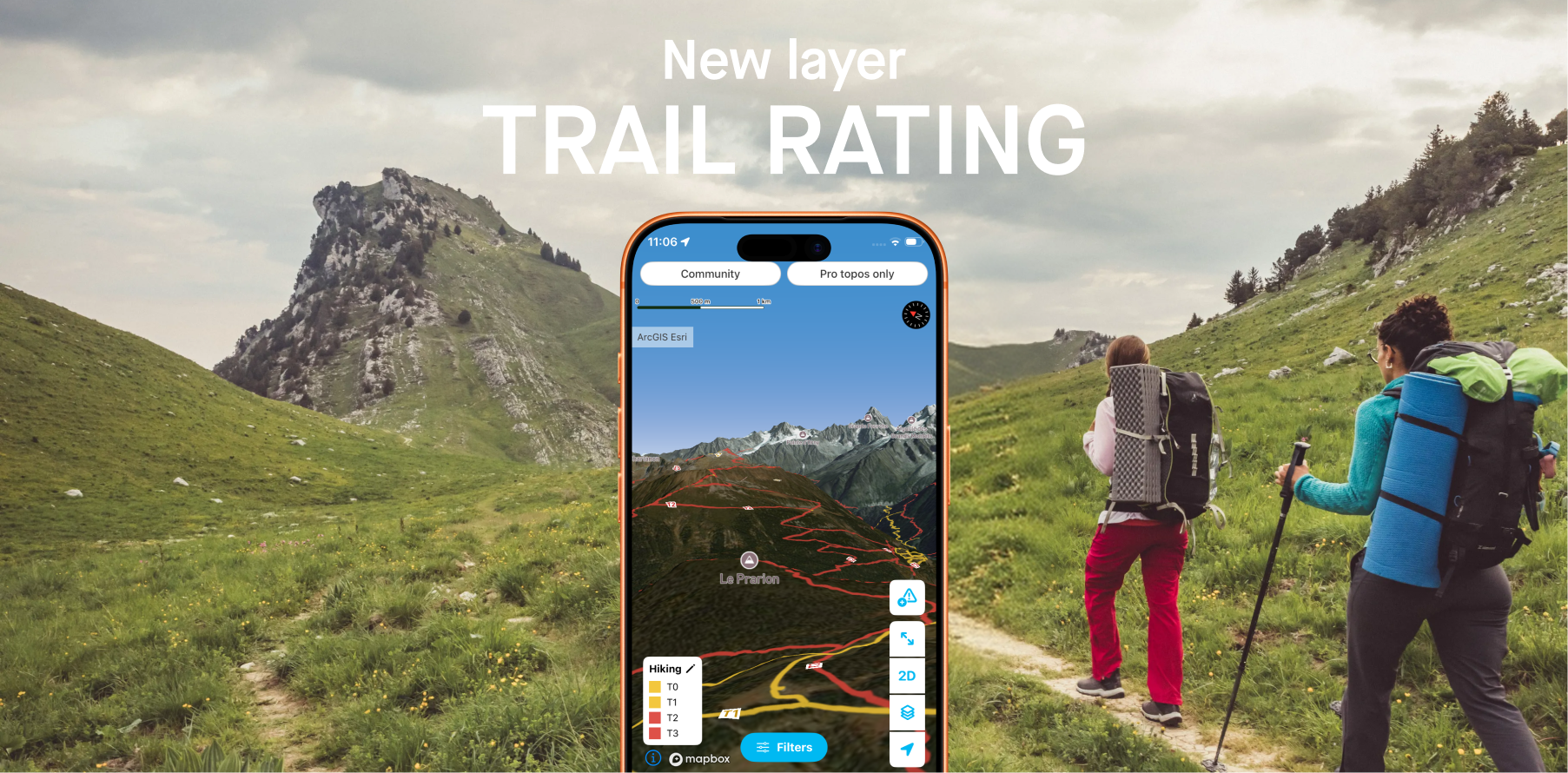
Whympr introduces 2 new layers to display the difficulty ratings of all hiking trails around the world.
26
May
Plan your hikes with peace of mind this summer in France and Switzerland with the new “guard dog zone” overlays
05
Access the Tour du Mont-Blanc and Grande Traversée des Alpes Pro Topos in digital format on the Whympr app
Ski touring
Ski
24
April
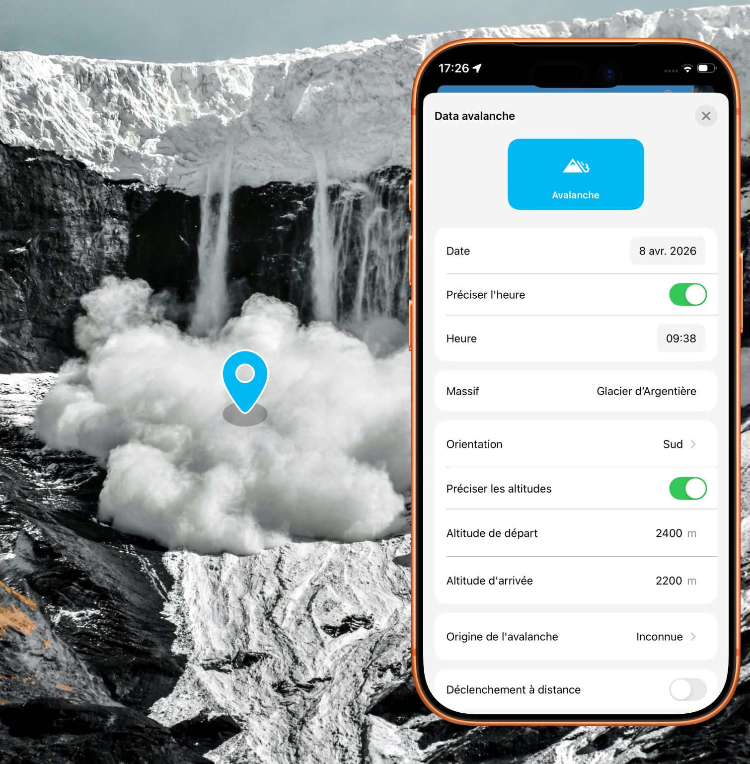
Alert the community and report avalanches quickly with just a few taps in the app
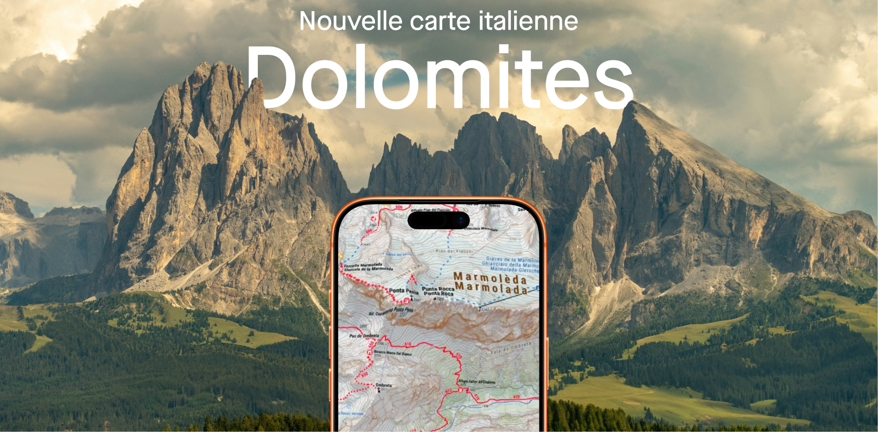
Plan your next hikes and treks in the Dolomites.
11
Explore the most breathtaking hikes in the Mont Blanc massif with the Vamos guidebook, featuring detailed routes, hidden gems, and unforgettable alpine adventures.
What to do with Whympr? Our CEO explains it to you in 5 minutes in this video.
Discover our 4 mountain-related projects that we are going to support financially this winter.
In this article, discover how Whympr can become your best tool when you head out for a ski touring adventure.
Good news: you can import your old Fatmap tracks into Whympr. Find how in this article.
Climbing
Anastasia has taken on a one-of-a-kind challenge: to climb or ski all the peaks between 3900 and 3999 meters, also known as "the forgotten 4000s." Check out her interview!
Discover how to link your Whympr account to Iphigénie (and vice versa) when purchasing the Outdoor Pack