Hiking
Whympr
06
July
2026
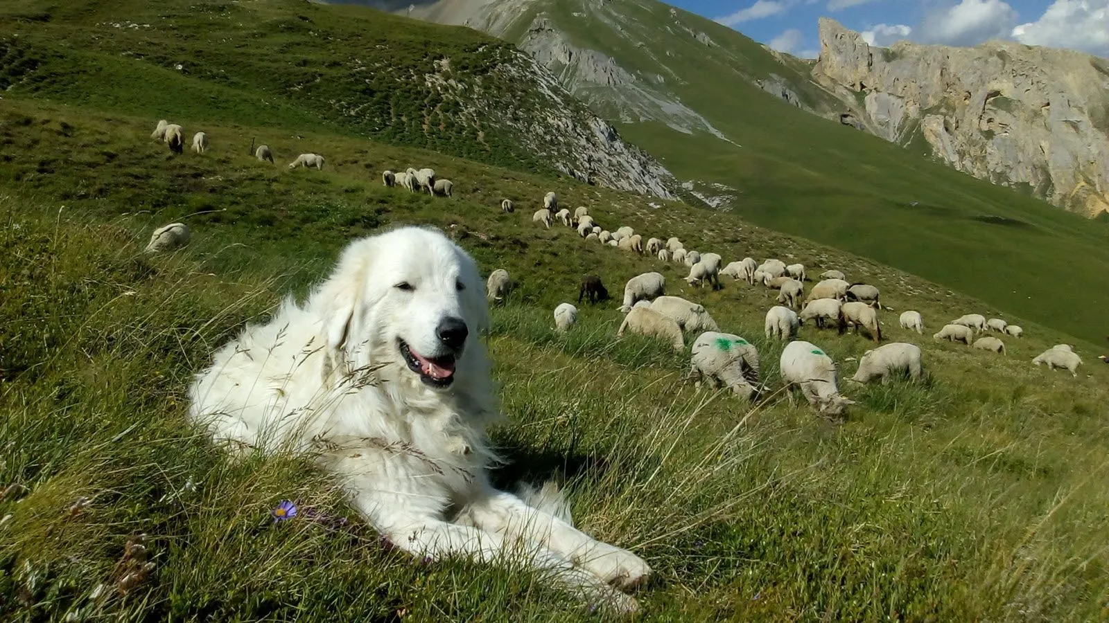
With Whympr’s new map layer showing the location of guard dogs — a.k.a. patous — you can hike with greater peace of mind!
Ski touring
Ski
25
March
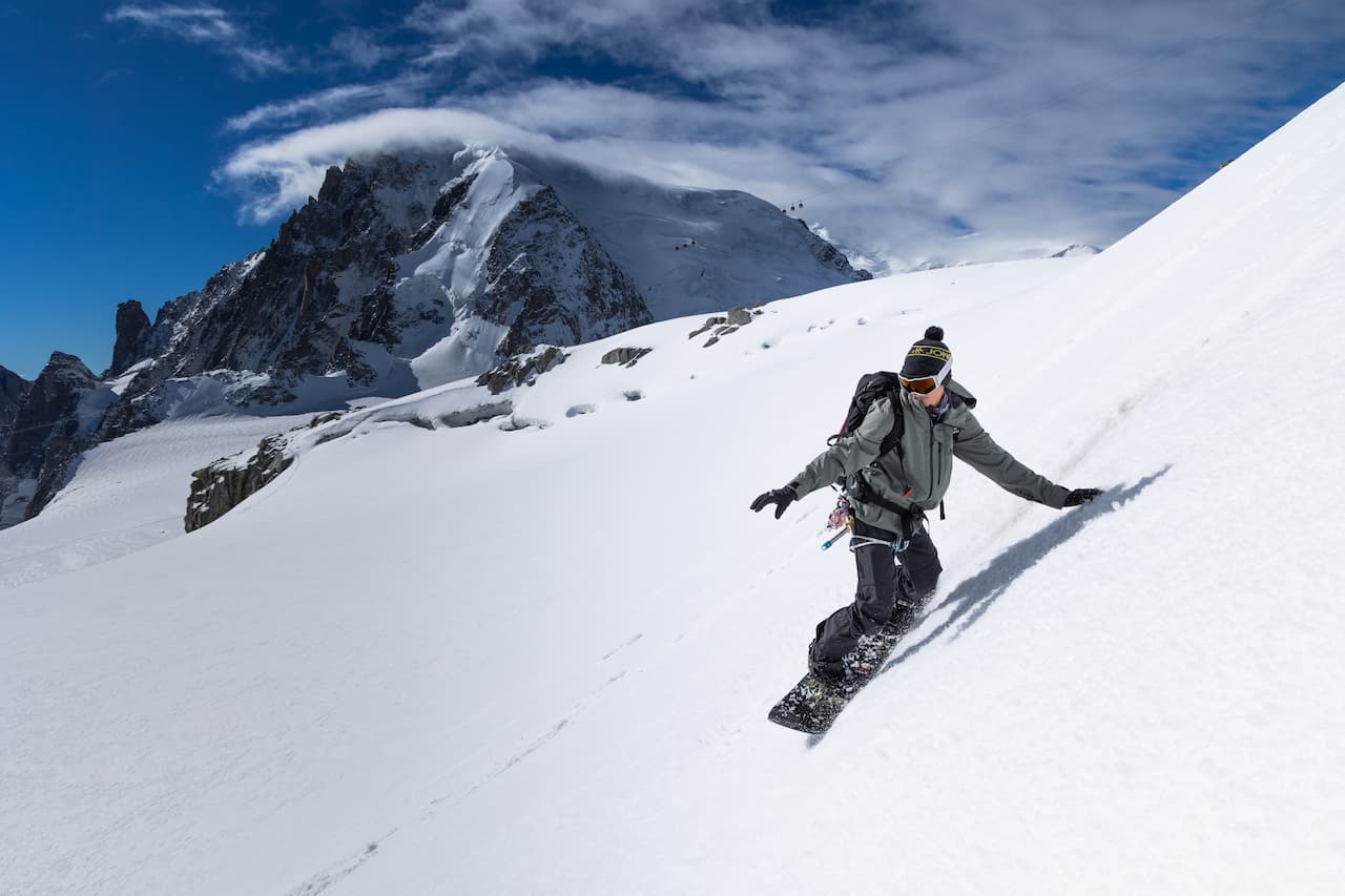
Explore the new Whympr winter satellite maps for ski touring in Belledonne and Zermatt (Matterhorn & Monte Rosa).
Tutorial
16
Discover Whympr’s new feature: report and check hazards and obstacles before your outdoor outing.
03
Discover 80 backcountry skiing routes around Chamonix with the Vamos guidebook.
23
February
Find all avalanche reports pretty anywhere in the world with Whympr.
20
Whympr centralizes key avalanche risk data to help you plan your mountain outings safely. Learn more in this article.
Climbing
26
January
Are you wondering if the Whympr mobile app is free? This is what we will see in this article.
22
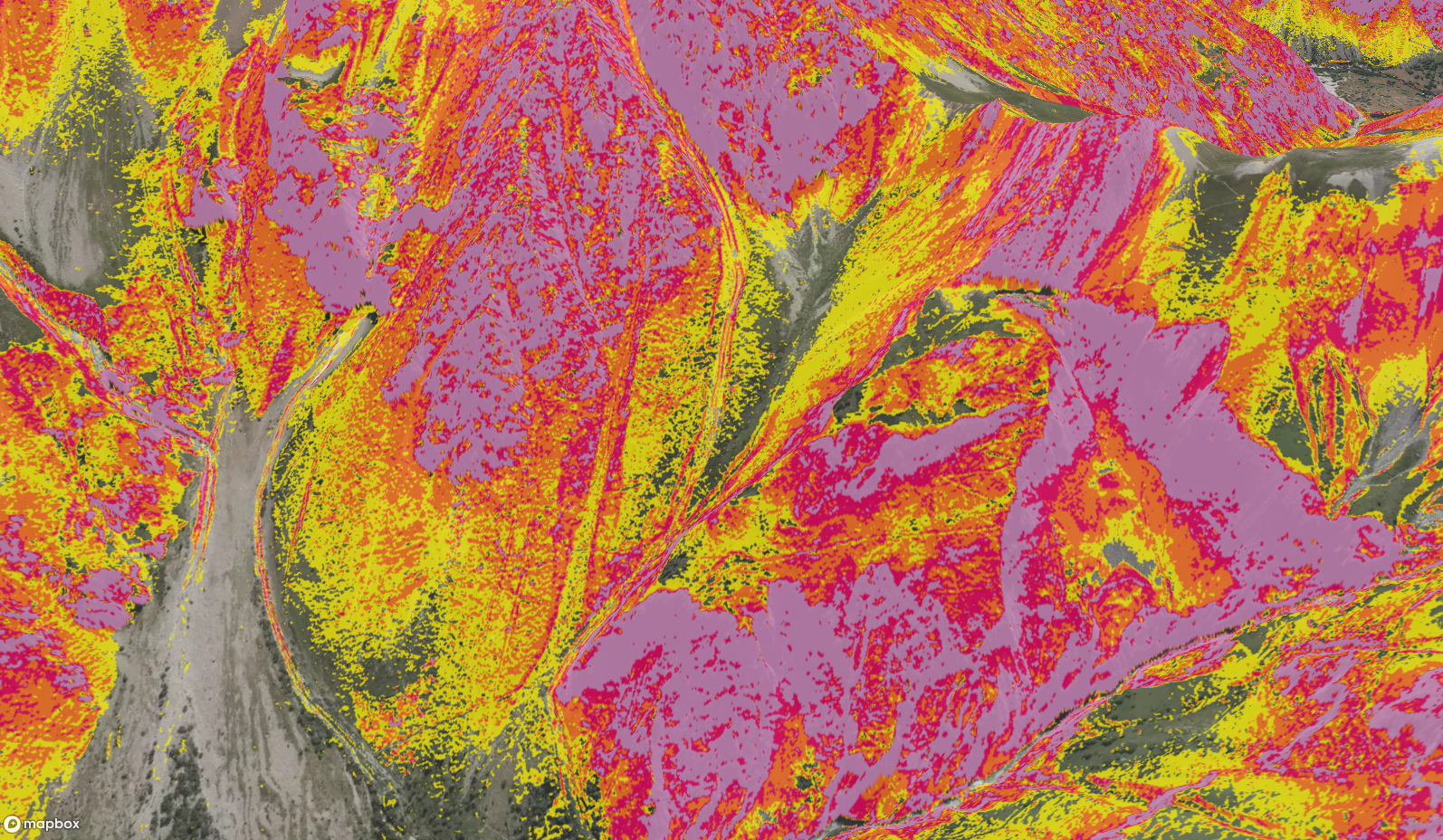
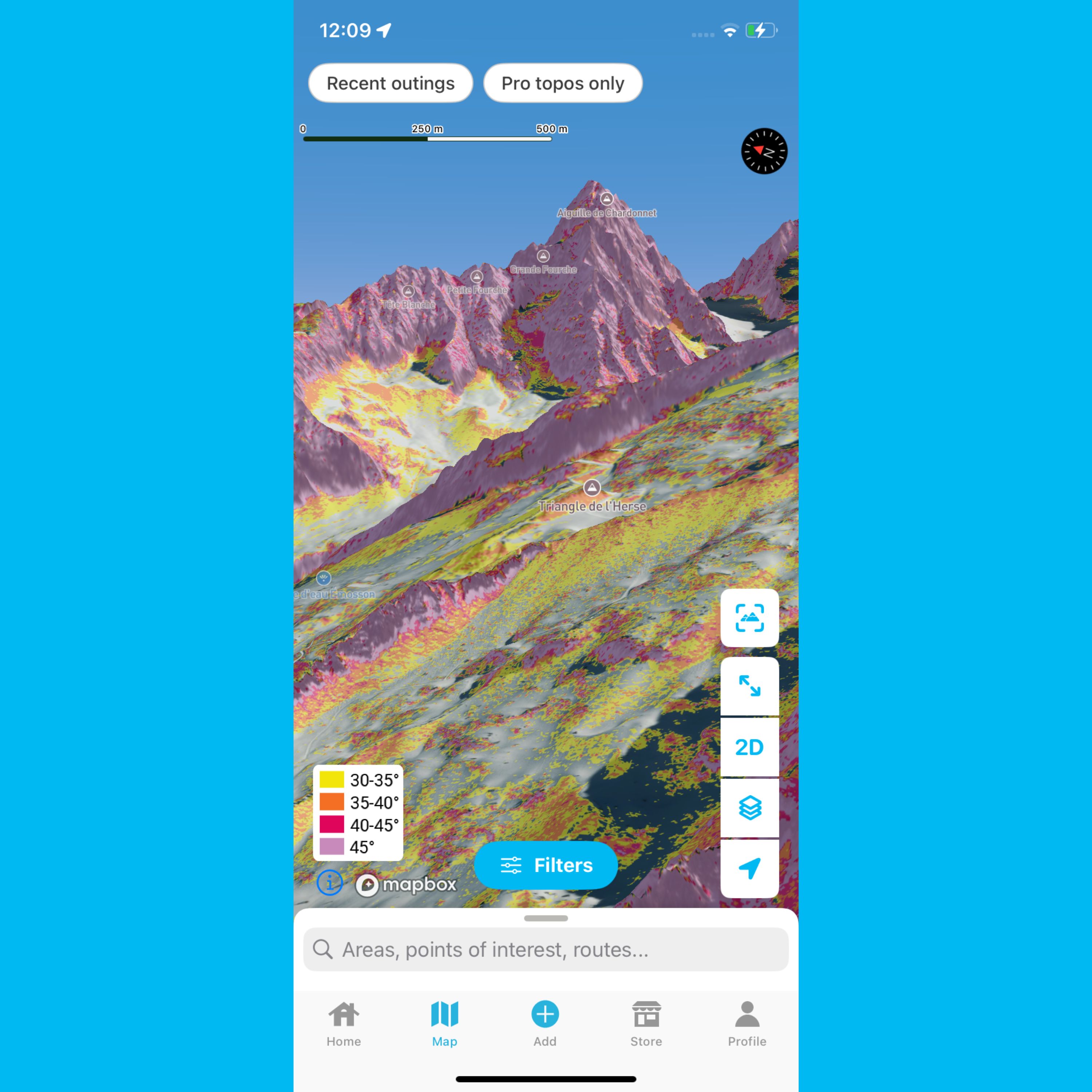
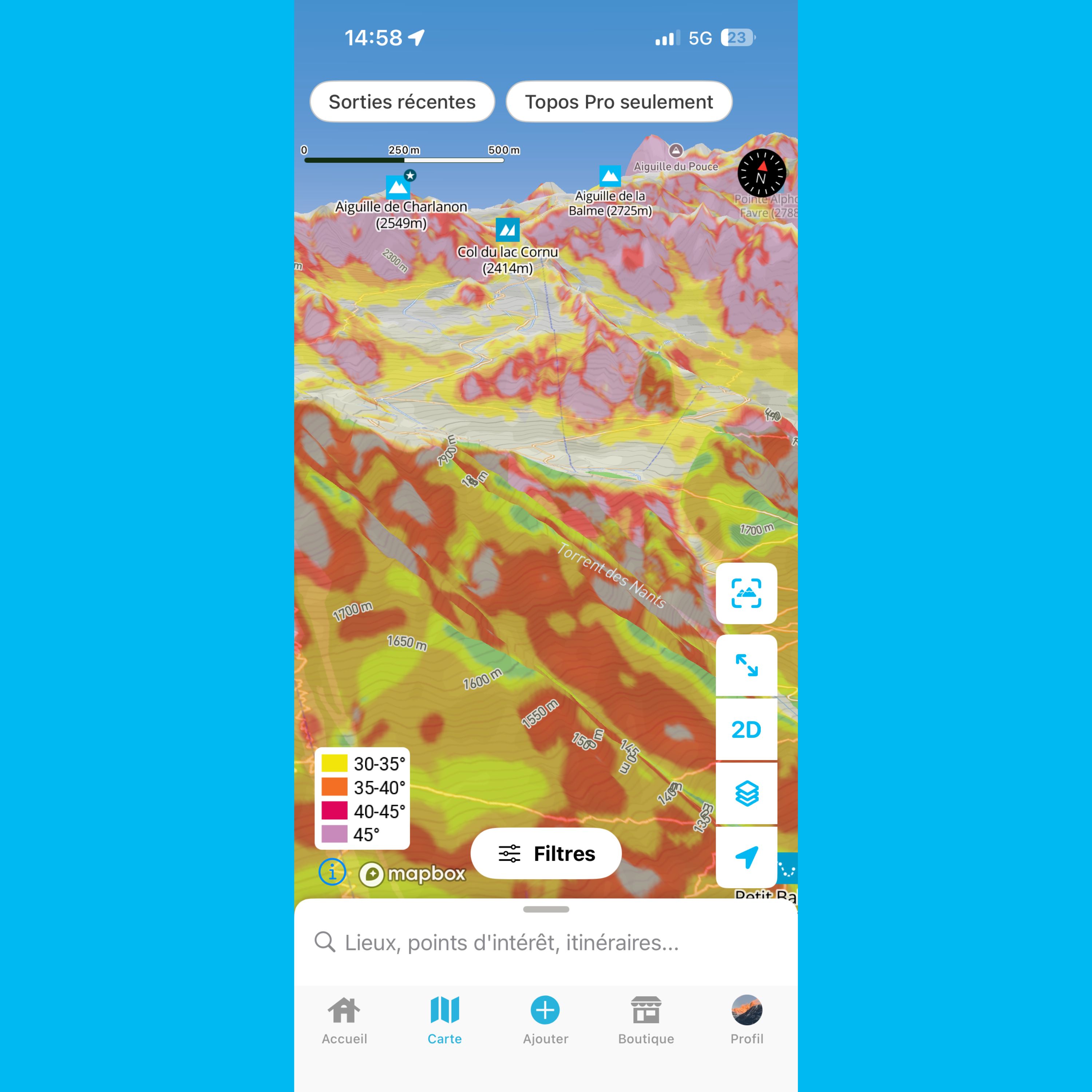
What is a slope gradient layer? Why is it important for planning your mountain trips? How do you read it correctly? We cover everything you need to know in this article.
12
Check out the resolution of Whympr’s world slope gradient layer legend in this article.
07
This article helps you understand slope gradient layers in Whympr
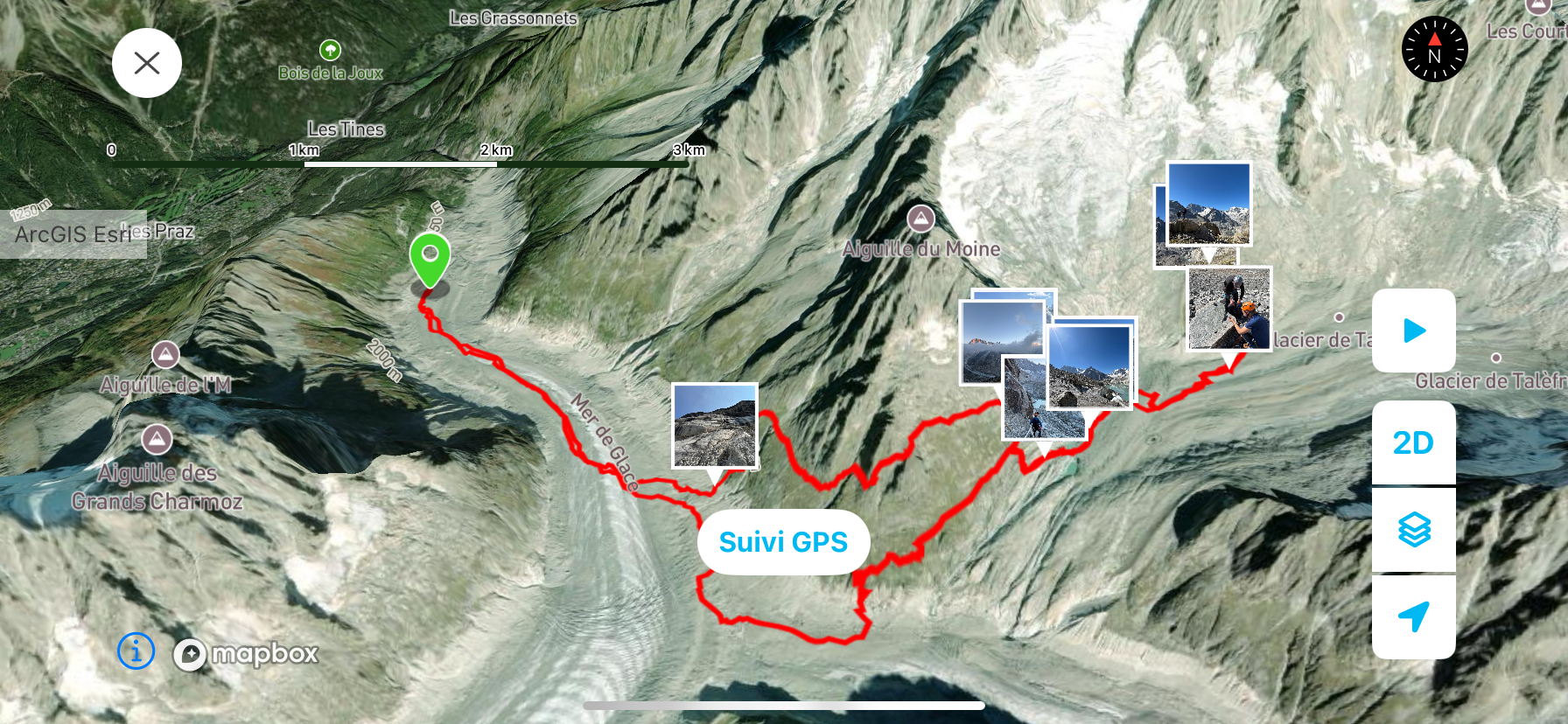
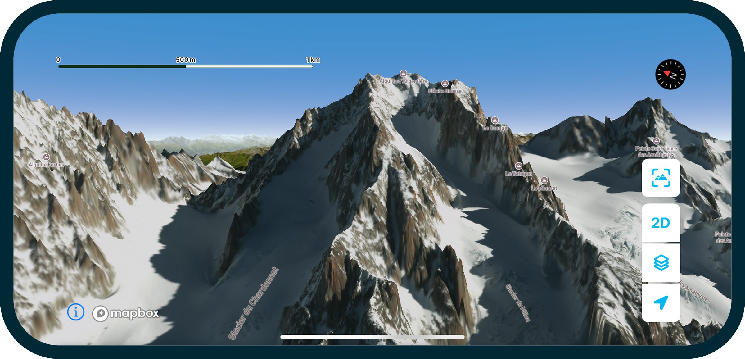
With our new ‘Fly Over Your Route’ feature, you can now see outings in 3D like you’re really there! Check it out
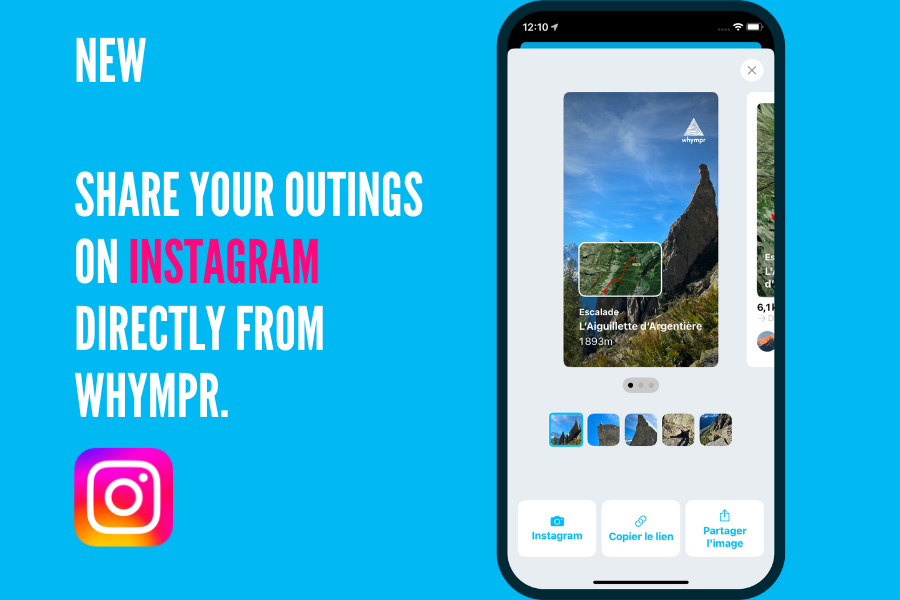
You can now super easily share your adventures on Instagram! Want us to show you how?
Dans ce podcast, c'est Léo Slemett, champion du monde de freeride qui se confie. Découvre son parcours, sa préparation avant une sortie en montagne, ses projets en 2025 et plein d'autres sujets ultra intéressants.
Take your outdoor adventures to the next level this winter with our brand-new winter map featuring 3D LiDAR.
For Pink October, Whympr is partnering with the La Mégevanne solidarity trail in Megève.
A year ago, FATMAP closed its doors. A look back one year later.