Whympr
Ski touring
Ski
27
October
2026
FATMAP has shut down on October 1st 2024. Which mountain app should you choose to prepare for your outdoor outings?
25
September
2024
Discover our 4 mountain-related projects that we are going to support financially this winter.
17
August
Did you know that at Whympr, we’ve taken a different approach, focusing on the quality and variety of the information we provide?
13
Toutes les nouveautés autour de Whympr, actualisées toutes les semaines, c'est par ici !
05
What to do with Whympr? Our CEO explains it to you in 5 minutes in this video.
Hiking
23
July
Discover the diversity and beauty of these mountains through four trekking routes in the Pyrenees: 3 to 6 days in the Hautes-Pyrénées, Aragon, Ariège, and the Eastern Pyrenees.
Climbing
18
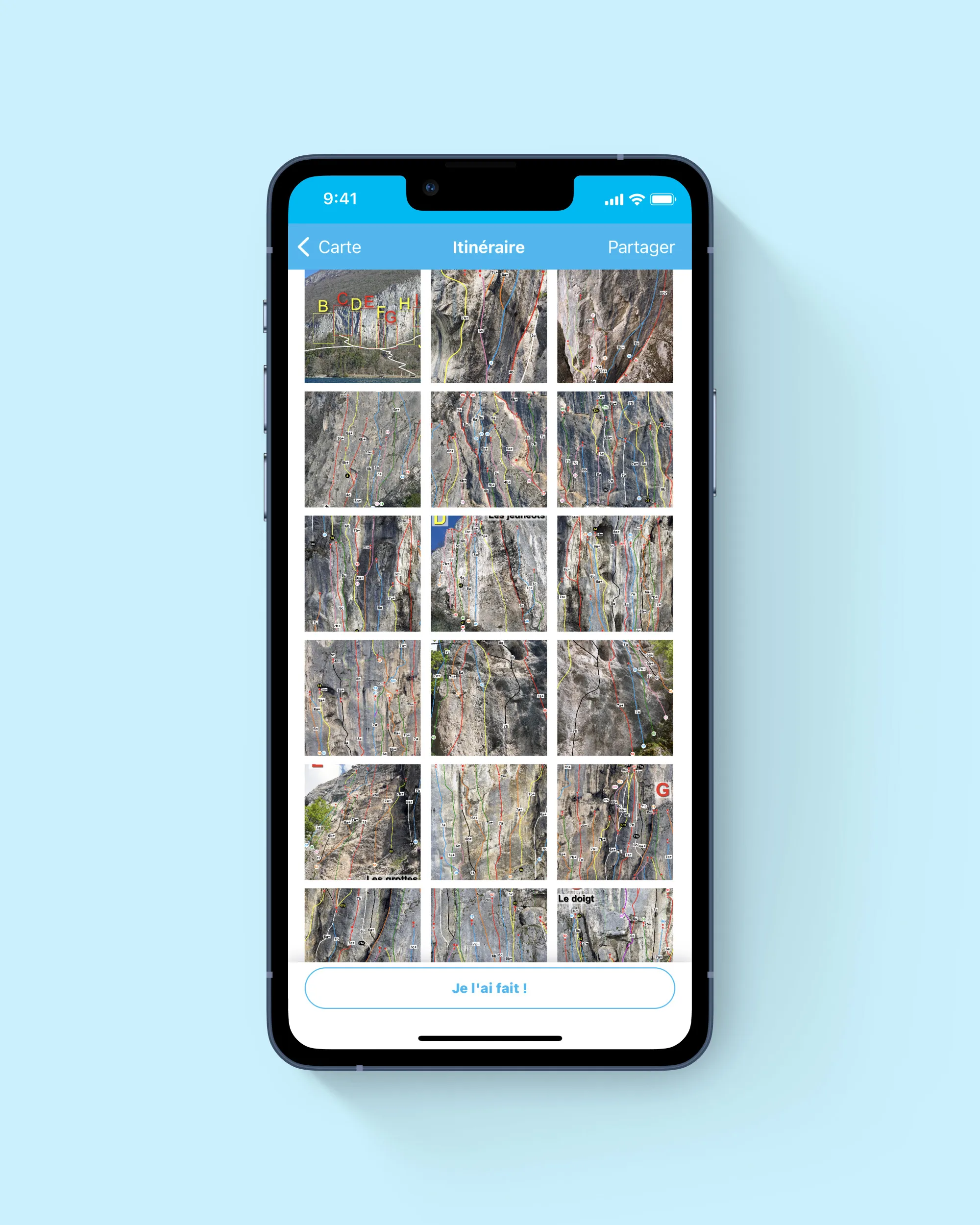
Découvre le tout nouveau topo d'escalade de la falaise du Biclop à Annecy sur Whympr
Dans cet article, nous allons te présenter les 3 plus belles voies d’escalade pour découvrir l’aiguille du Plat de la Selle.
Alpinism
28
June
Dans cet article, nous t’emmenons découvrir deux randonnées glaciaires qui mènent au Dôme de la Lauze. Plonge dans l’ambiance de la haute montagne où la nature brute te donnera des frissons.
Equipement
21
Voici un petit aide-mémoire sur les cotations d’alpinisme et les critères pris en compte pour les déterminer afin de déchiffrer les lettres, les graduations et les - /+ qui peuvent parfois paraître un peu énigmatiques.
Crée, modifie et utilise ta trace GPX directement depuis ton téléphone, même sans réseau : idéal en randonnée, trek ou alpinisme. Le tuto complet pas à pas.
Randonnée au Lac Blanc (2352 m) à Chamonix : découverte du lac, 2 itinéraires détaillés (Flégère ou Col des Montets), distances, dénivelé et meilleure période pour y aller
French climbing grades explained: from 3 to 9, plus how they compare to YDS, UIAA and other international systems. Pick the right route with confidence.
Tutorial
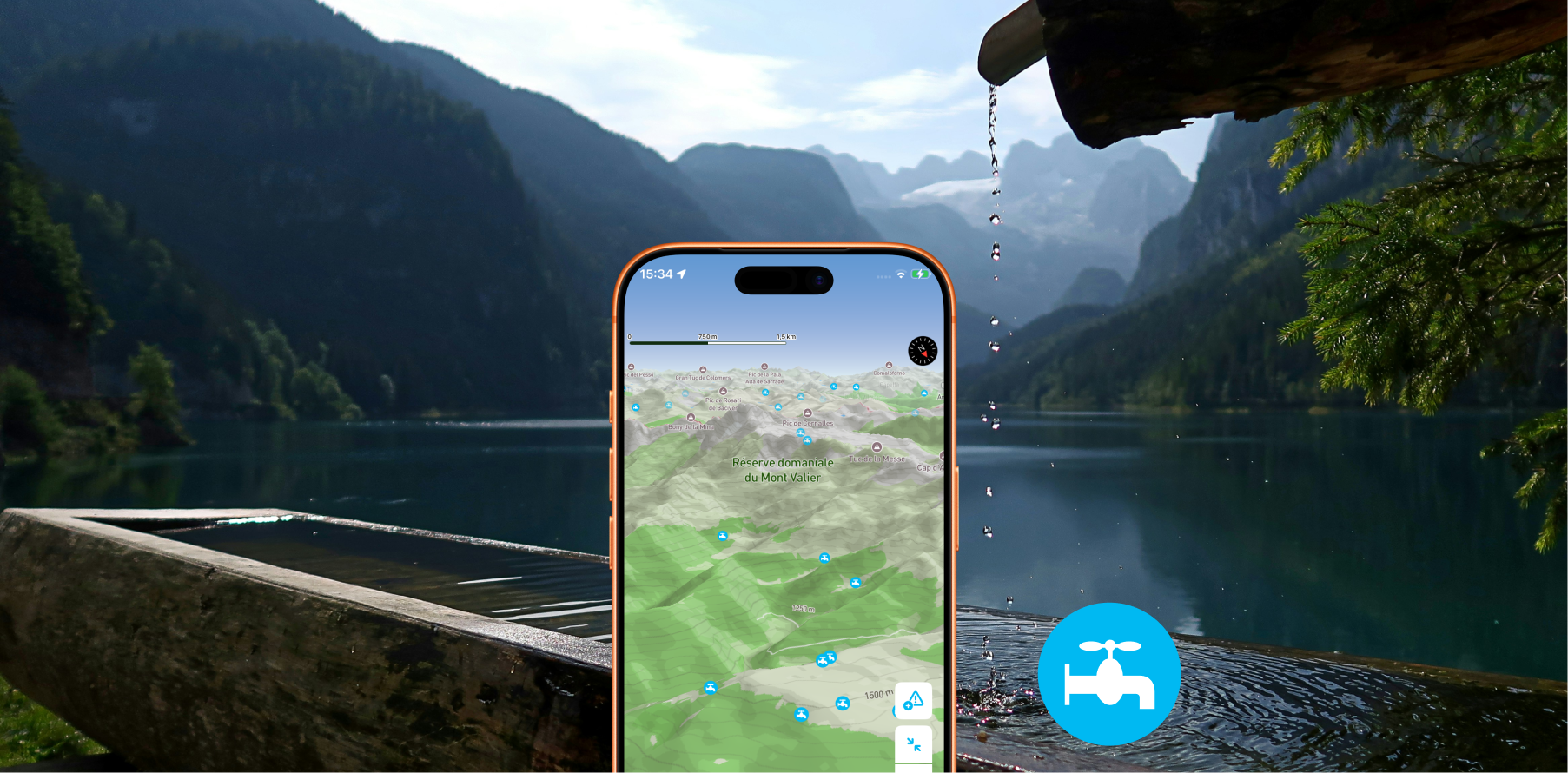
Displays drinking water access points on your map so you'll never run out of water on the trail.
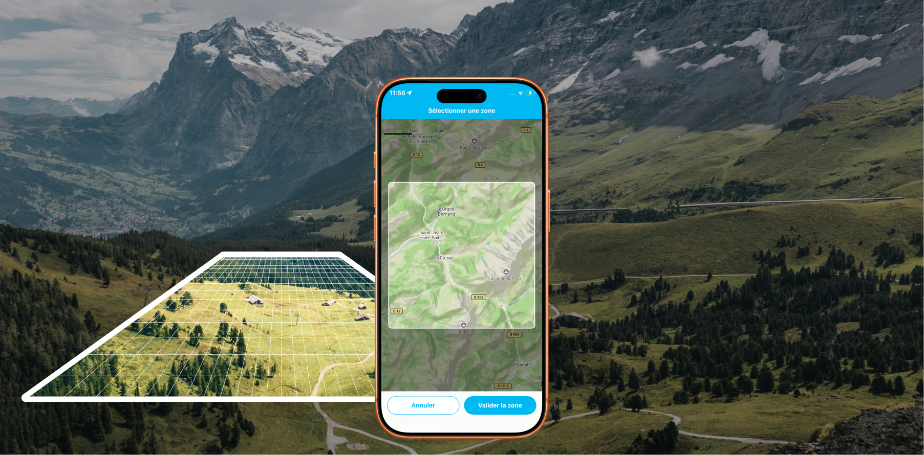
Offline Maps: Download areas from anywhere on Earth and travel without a data connection with Whympr
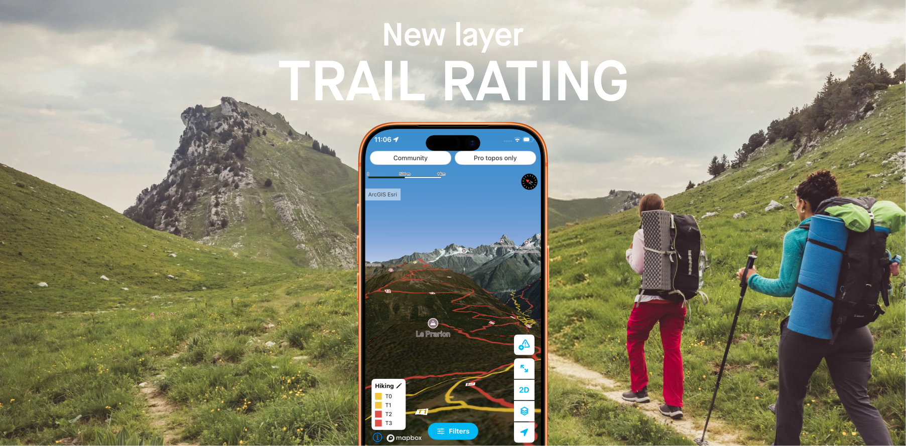
Whympr introduces 2 new layers to display the difficulty ratings of all hiking trails around the world.