Whympr
Ski touring
Ski
27
October
2026
FATMAP has shut down on October 1st 2024. Which mountain app should you choose to prepare for your outdoor outings?
22
January
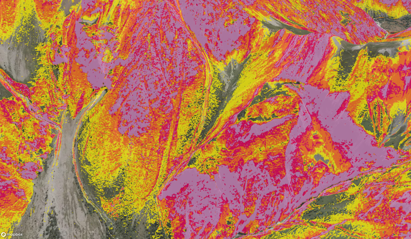
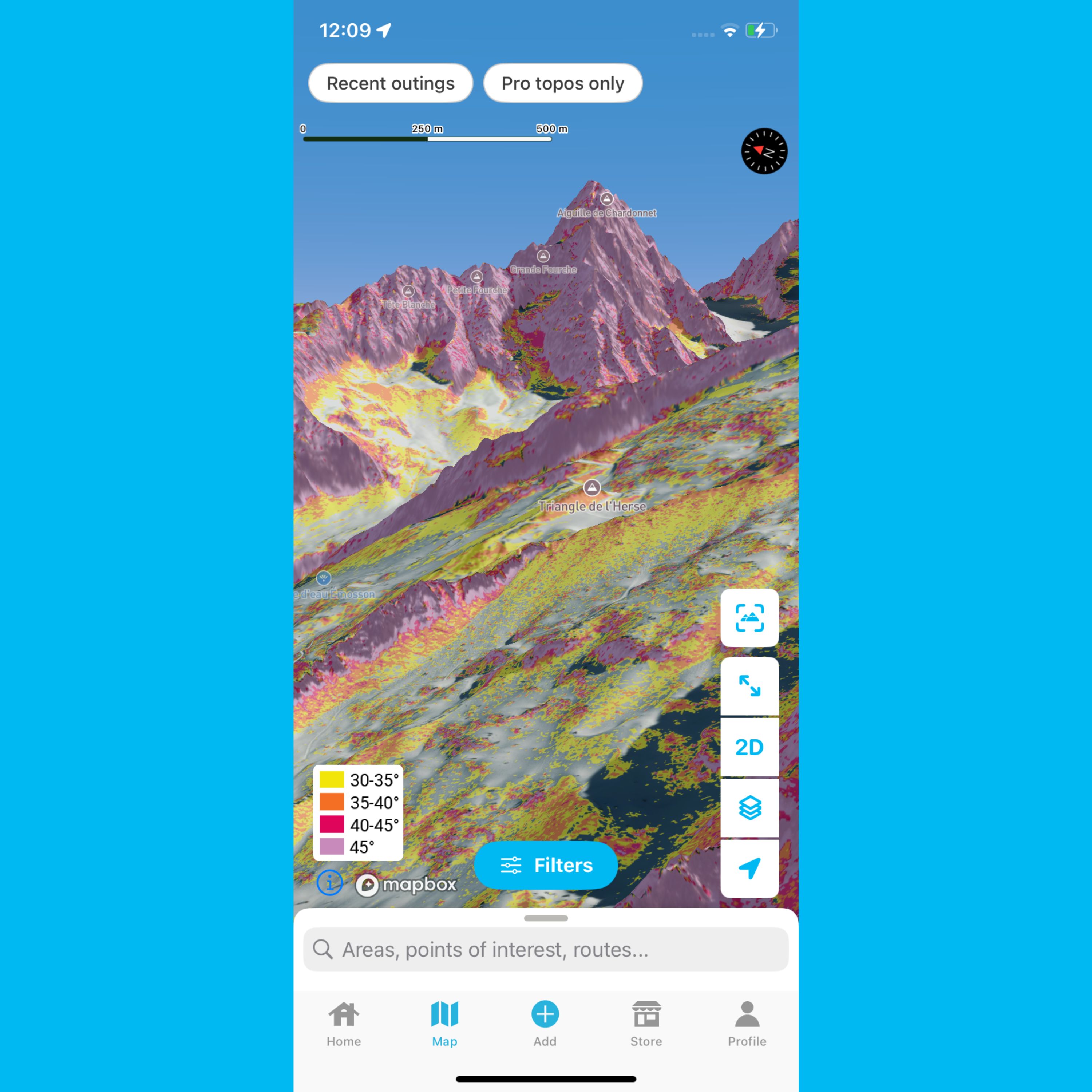
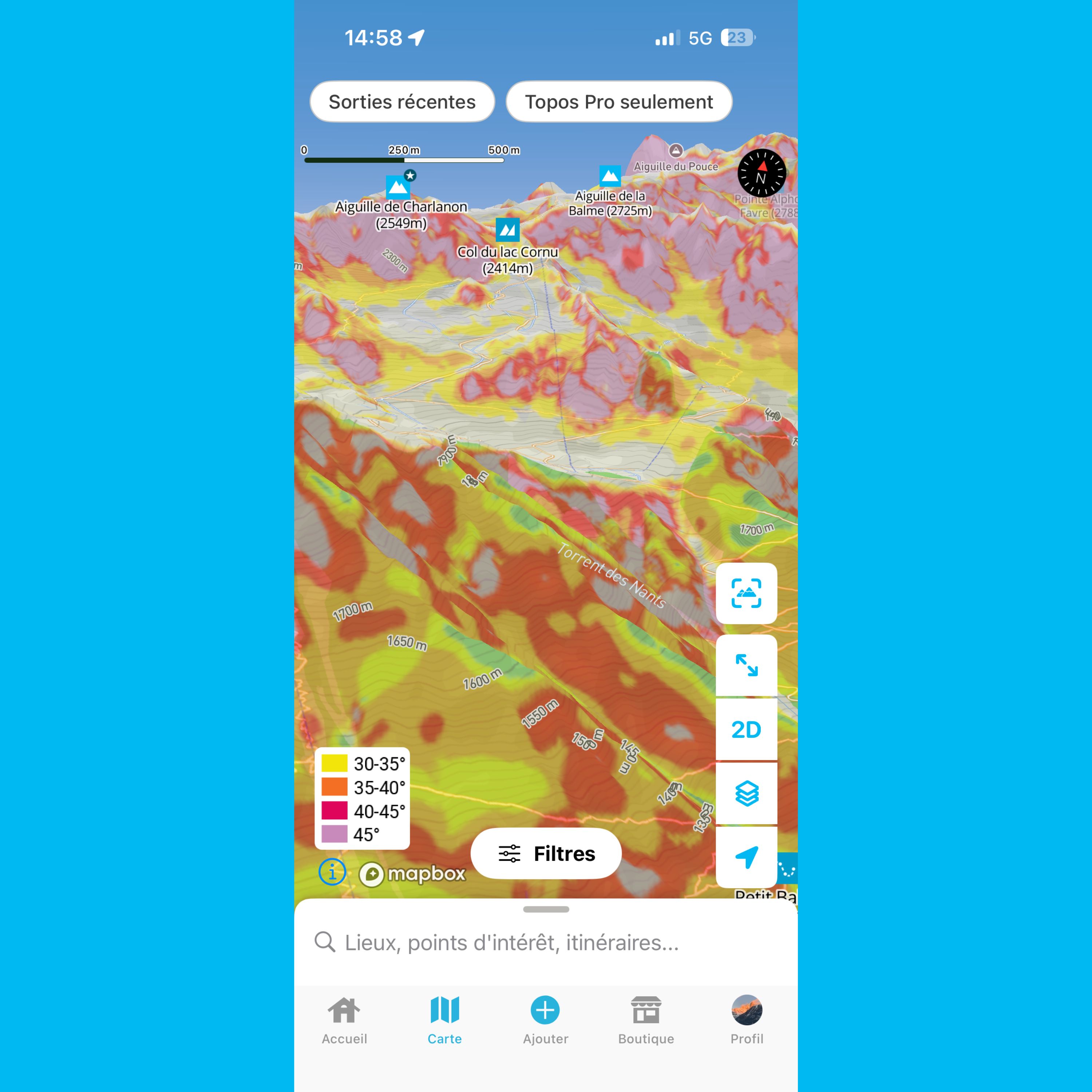
What is a slope gradient layer? Why is it important for planning your mountain trips? How do you read it correctly? We cover everything you need to know in this article.
12
Check out the resolution of Whympr’s world slope gradient layer legend in this article.
07
This article helps you understand slope gradient layers in Whympr
04
December
2025
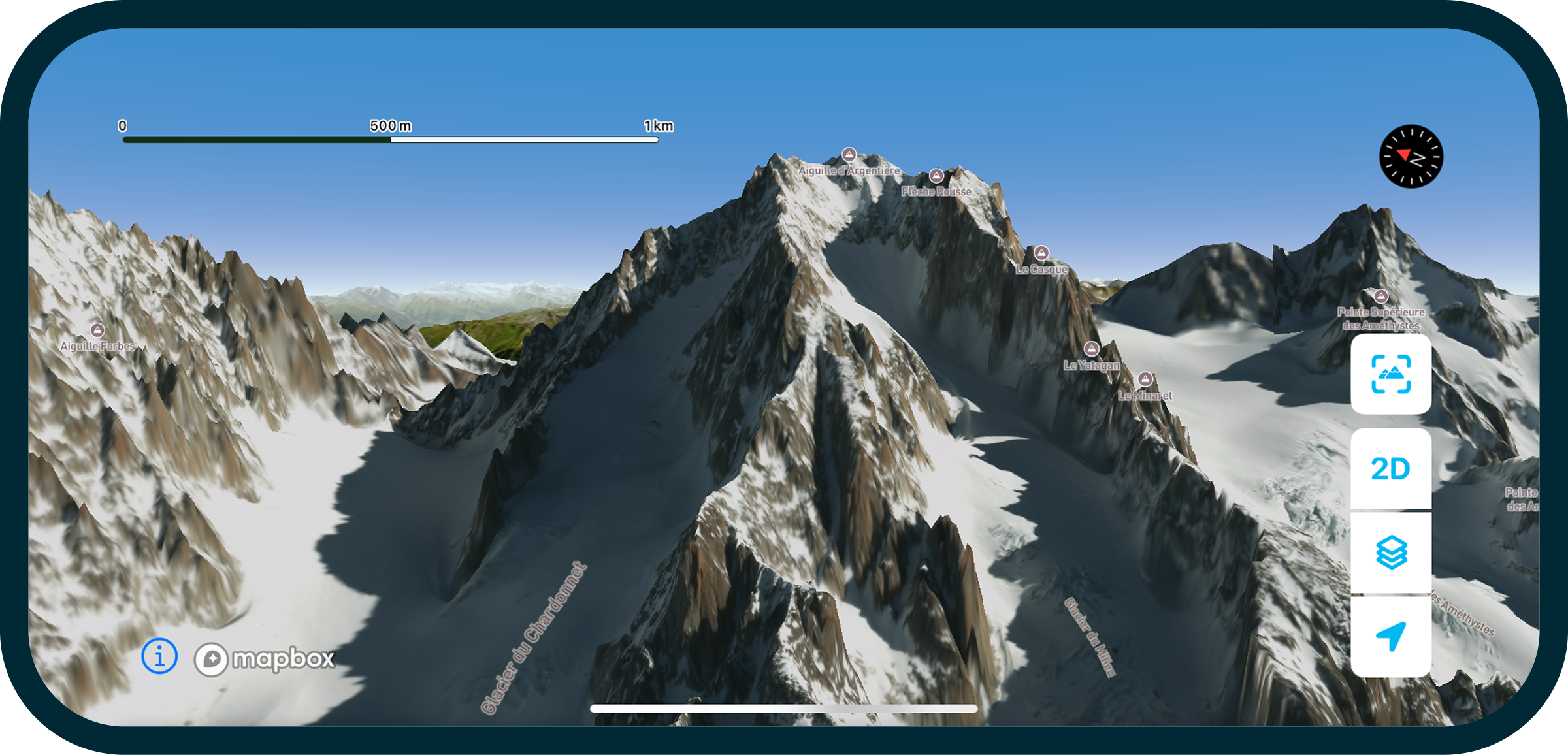
Take your outdoor adventures to the next level this winter with our brand-new winter map featuring 3D LiDAR.
30
Discover the most beautiful off-piste routes in the Mont Blanc massif
23
Whympr poursuit l’aventure avec Léo Slemett et Marion Haerty, et accueille Liv Sansoz
Hiking
13
For Pink October, Whympr is partnering with the La Mégevanne solidarity trail in Megève.
Tutorial
02
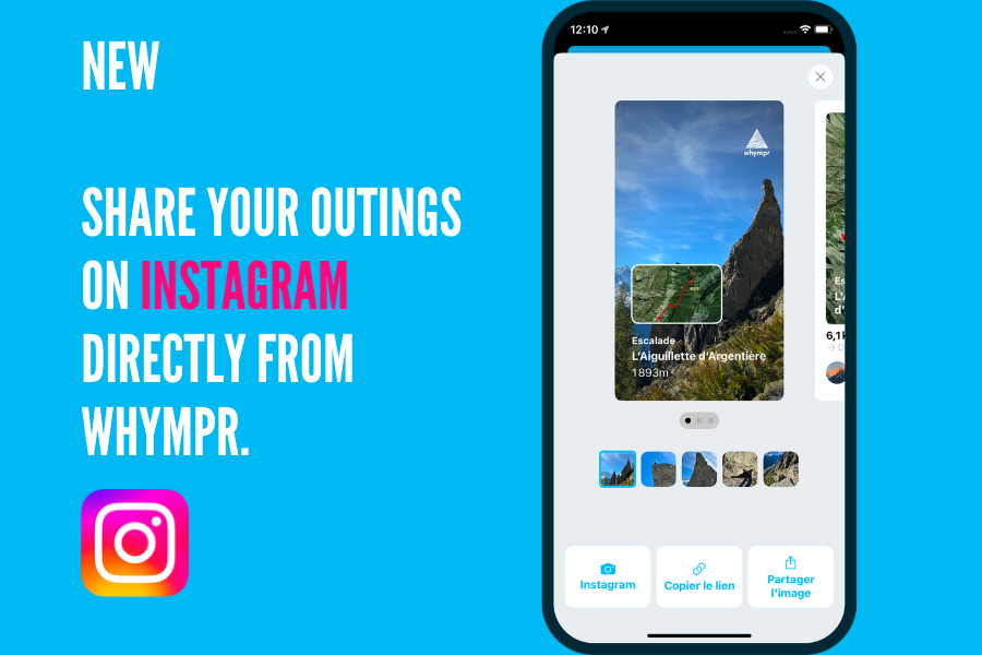
You can now super easily share your adventures on Instagram! Want us to show you how?
01
A year ago, FATMAP closed its doors. A look back one year later.
Alpinism
Crée, modifie et utilise ta trace GPX directement depuis ton téléphone, même sans réseau : idéal en randonnée, trek ou alpinisme. Le tuto complet pas à pas.
Randonnée au Lac Blanc (2352 m) à Chamonix : découverte du lac, 2 itinéraires détaillés (Flégère ou Col des Montets), distances, dénivelé et meilleure période pour y aller
Climbing
Equipement
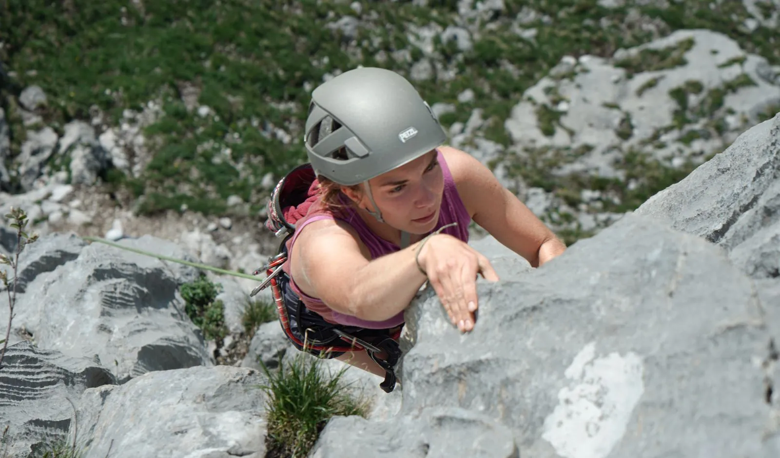
French climbing grades explained: from 3 to 9, plus how they compare to YDS, UIAA and other international systems. Pick the right route with confidence.
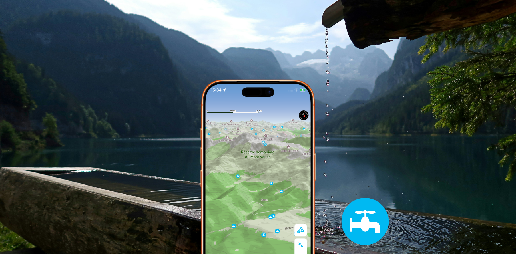
Displays drinking water access points on your map so you'll never run out of water on the trail.
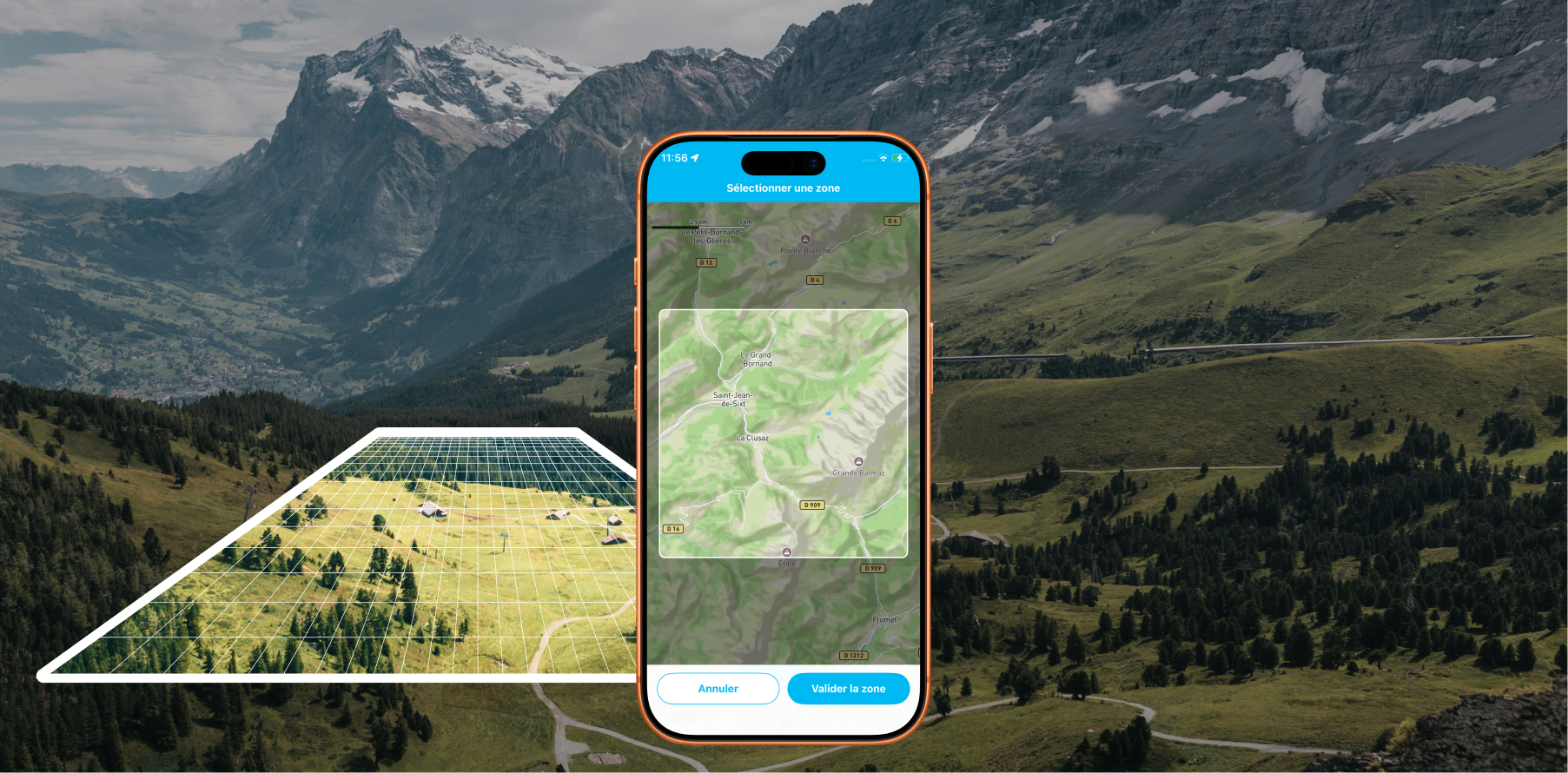
Offline Maps: Download areas from anywhere on Earth and travel without a data connection with Whympr
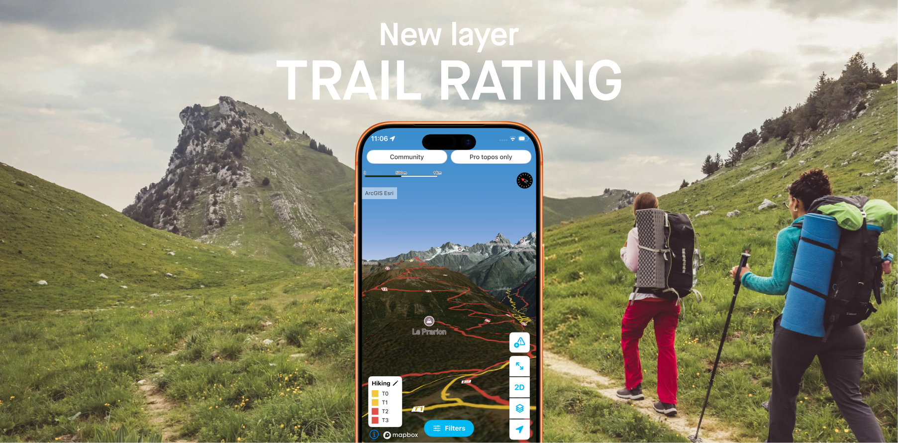
Whympr introduces 2 new layers to display the difficulty ratings of all hiking trails around the world.