Hiking
Whympr
06
July
2026
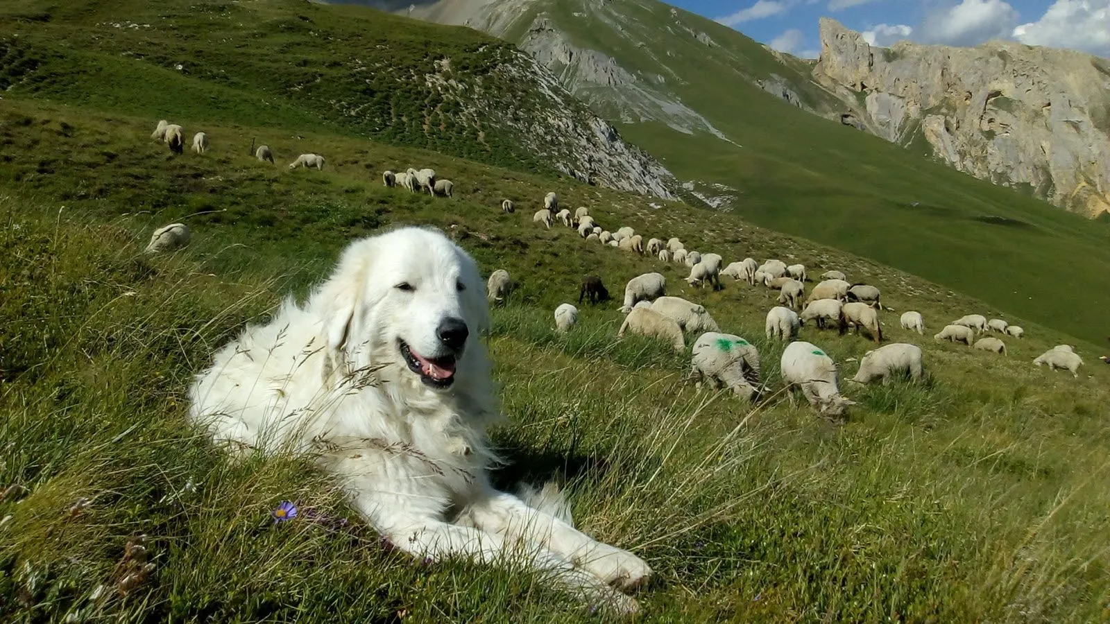
With Whympr’s new map layer showing the location of guard dogs — a.k.a. patous — you can hike with greater peace of mind!
January
FATMAP has shut down on October 1st 2024. Which mountain app should you choose to prepare for your outdoor outings?
Ski touring
04
December
2025
Take your outdoor adventures to the next level this winter with our brand-new winter map featuring 3D LiDAR.
Ski
30
October
Discover the most beautiful off-piste routes in the Mont Blanc massif
23
Whympr poursuit l’aventure avec Léo Slemett et Marion Haerty, et accueille Liv Sansoz
13
For Pink October, Whympr is partnering with the La Mégevanne solidarity trail in Megève.
Tutorial
02
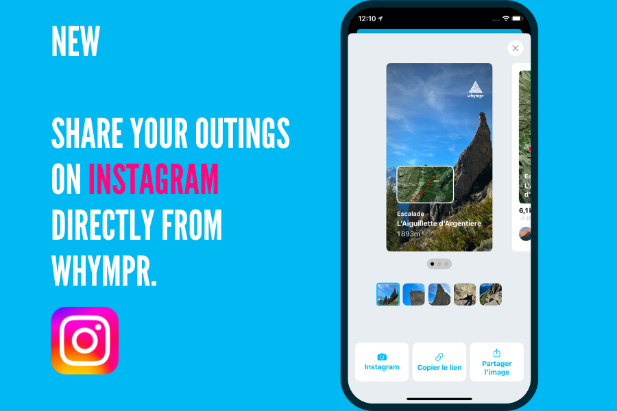
You can now super easily share your adventures on Instagram! Want us to show you how?
01
A year ago, FATMAP closed its doors. A look back one year later.
15
September
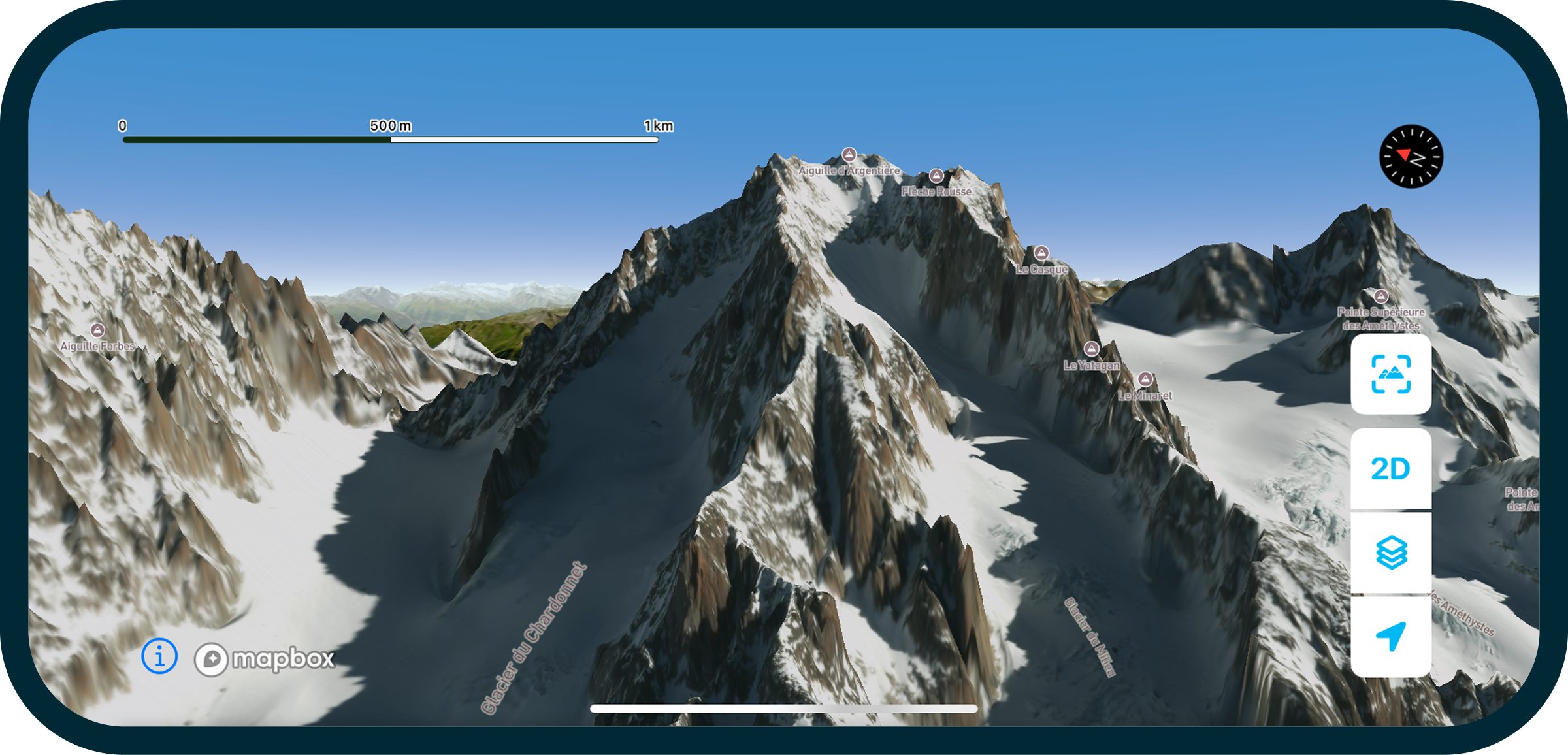
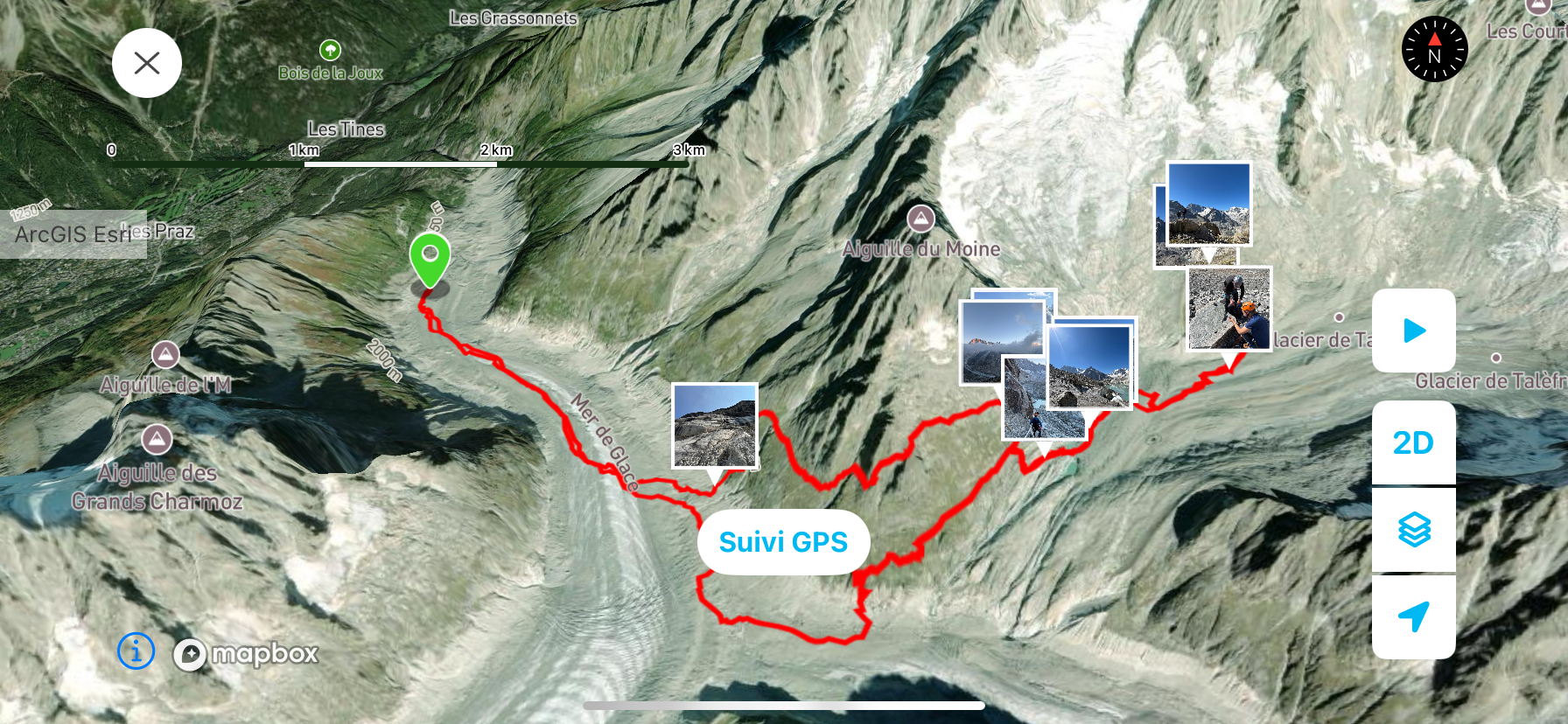
With our new ‘Fly Over Your Route’ feature, you can now see outings in 3D like you’re really there! Check it out
08
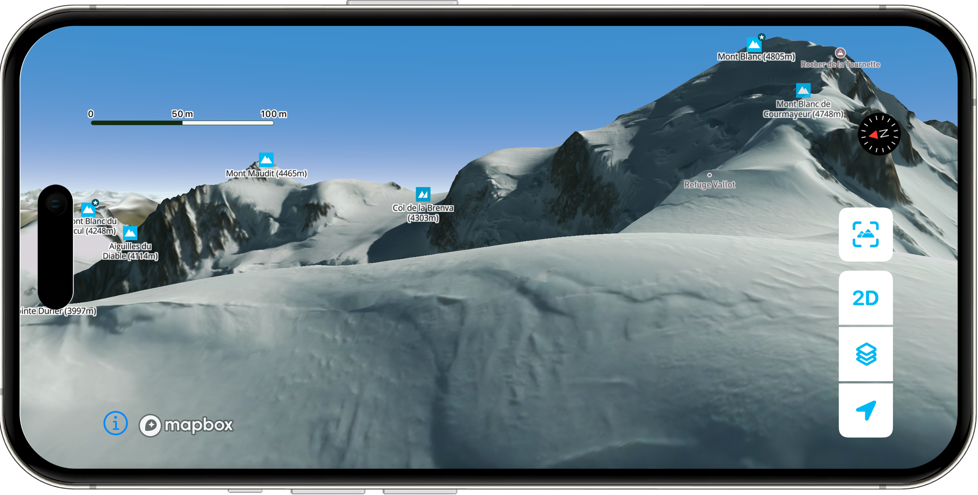
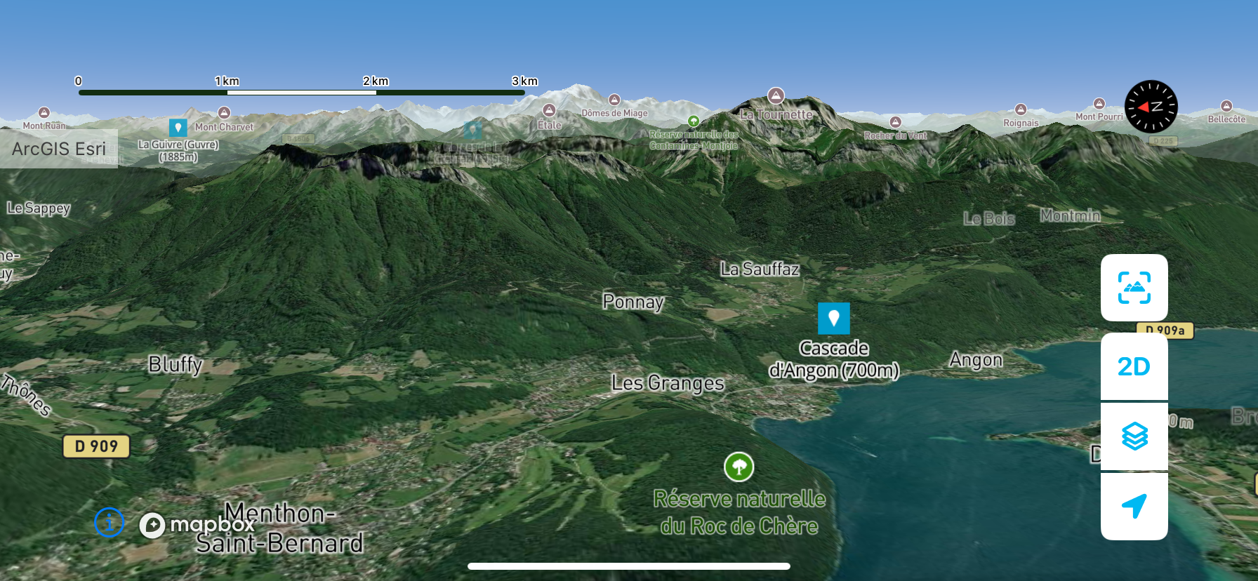
Discover the smooth new 3D map in the app!
Alpinism
Climbing
Equipement
How do you choose the right belay device for climbing? Here’s our advice.
Check out how to subscribe to our NEW outdoor Pack which includes Whympr Premium, Iphigénie and our Web App.
Here are our three favorite treks in France to soak up nature and recharge your energy this summer.
The world’s most iconic treks have just landed on Whympr – grab your pack, your next outing starts here.
Check our 5 Must-Have Gear for Your Hiking in this article.
La Trace Des Grands is the event you can’t miss for all the ski touring fans in France. We're sharing the event routes in this article.







.webp)